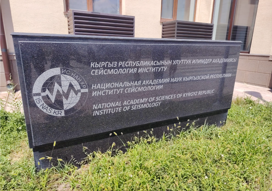
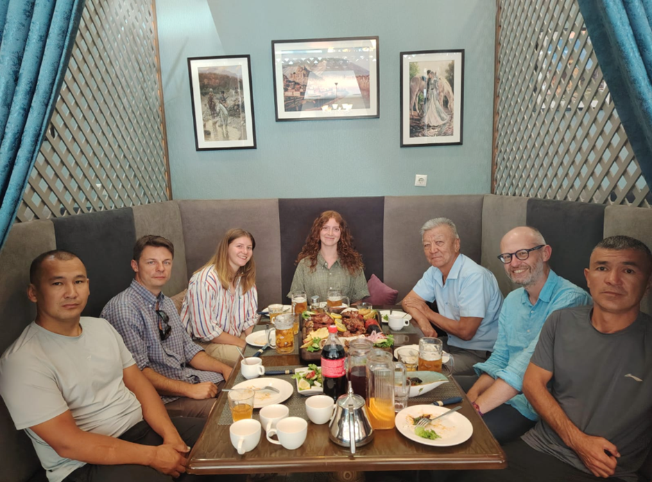
The Earthquakes in Central Asia team were in Kyrgyzstan from the 1st-14th August undertaking fieldwork with colleagues from the Institute of Seismology in Bishkek. This year we took the opportunity to complete some earlier projects and to begin pilot studies in new regions. For me, personally, it was an opportunity to revisit some of my favourite places in Kyrgyzstan, many of which I have not seen for many years. The work was performed within our on-going projects with the UK Foreign, Commonwealth, and Development Office Climate Energy and Water Security in Central Asia Programme, and the Willis Research Network at WTW. In these programmes we are assessing earthquake and landslide-related hazards to major infrastructure projects, and also undertaking programmes of training and support for researchers from the central Asian countries.
Our work began in Chon Aksu, north of Issyk Kul. This is a beautiful alpine valley that preserves the impressive ruptures of the 1911 Chon Kemin earthquake. This earthquake had a magnitude of around 7.9 and caused damage in the city of Almaty, which is not far away to the north. We last visited the Chon Aksu in 2022 to run an international training workshop in palaeoseismology and earthquake geology for young researchers. The region is now becoming very popular as a tourist destination and is the site of the 6th World Nomad Games. This year I had the opportunity to lead new students and collaborators along the ruptures, which are really the best introduction to the study of tectonic geology in Kyrgyzstan.
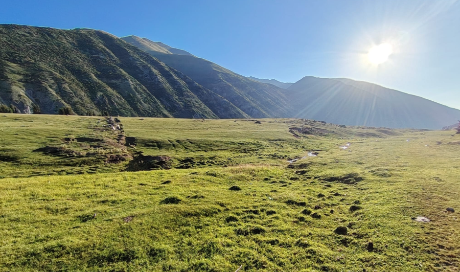
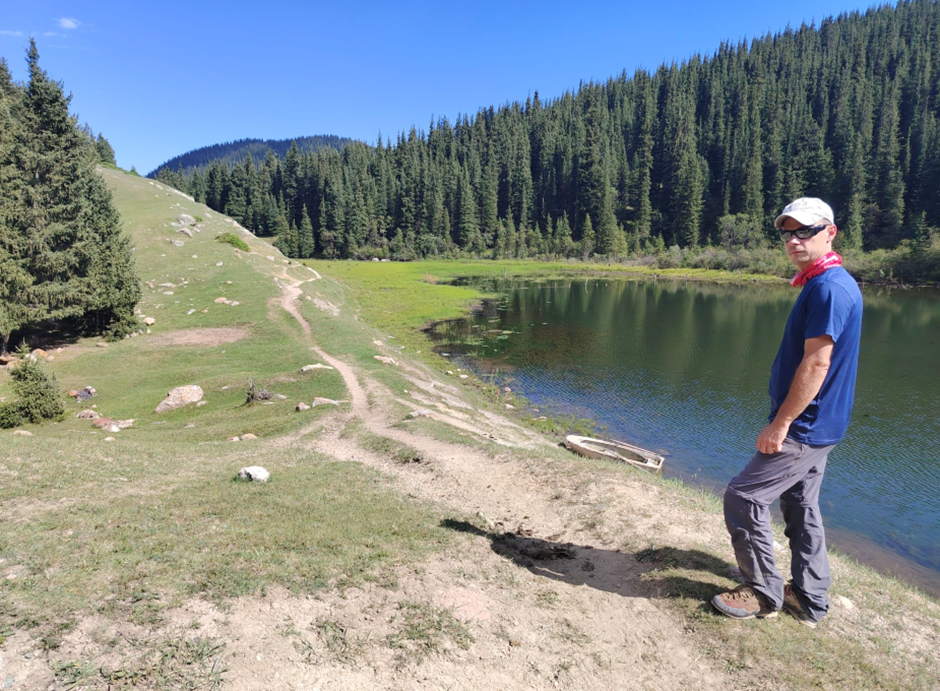
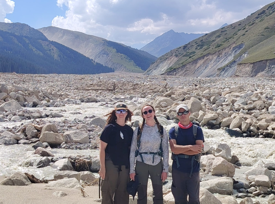
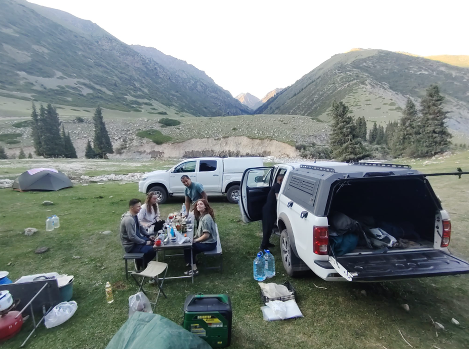
We then drove west to the Suusamyr basin, where the final members of our team assembled. We made a short visit to the ruptures of the 1992 Suusamyr earthquake, and to ruptures from earthquakes that occurred in pre-history. The 1992 earthquake is the largest earthquake to have occurred in recent history in Kyrgyzstan and, when combined with the visit to the 1911 ruptures in Chon Aksu, helped the new members of the team to see how the fresh ruptures gradually degrade through time, and how they correspond to the longer-term development of topography. The Suusamyr ruptures are also of general interest in that they show that different sections of the fault have ruptured in different earthquakes over the past 10,000 years – an important lesson for the interpretation of palaeoseismic trenches.
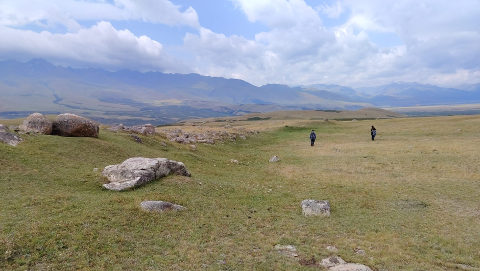
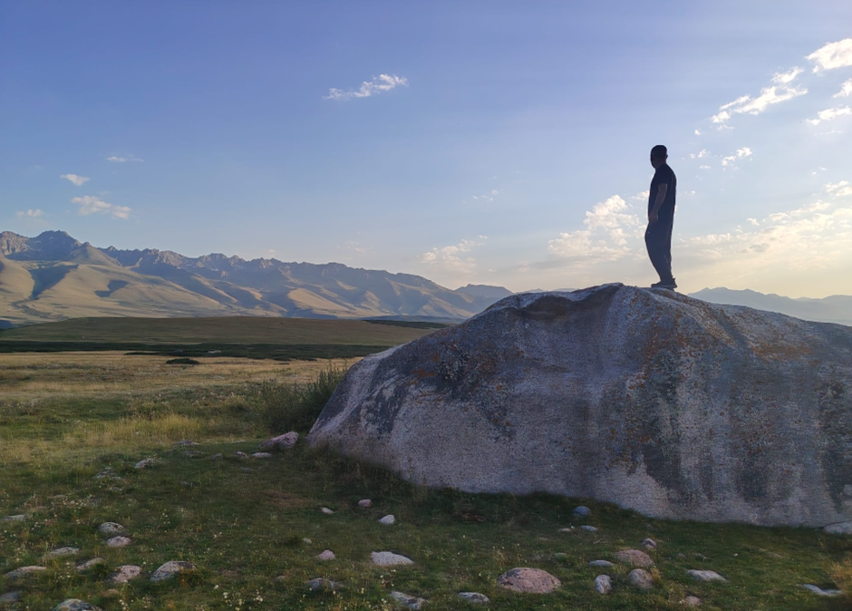
rom Suusamyr we headed west to the Toktogul basin. Here we spent a few days collecting observations and samples to continue our work on earthquake safety for the Kambarata hydropower stations, and also to assess the likely earthquake potential of the Talas-Fergana strike-slip fault. The Talas-Fergana fault is very long, cutting north to south through the entire Tien Shan range. The northern parts of the fault may have ruptured in the 1948 Chatkal earthquake, but the rest of the fault has been notably quiet in historical times. Longer faults may have the potential to fail in larger earthquakes with larger amounts of fault slip, and we are assessing whether the fault fails in rare very large earthquakes or more common smaller ones. The answer is important for understanding the hazard it poses, both to infrastructure (the dams, road, and rail connections between east and west Kyrgyzstan) and population centres.
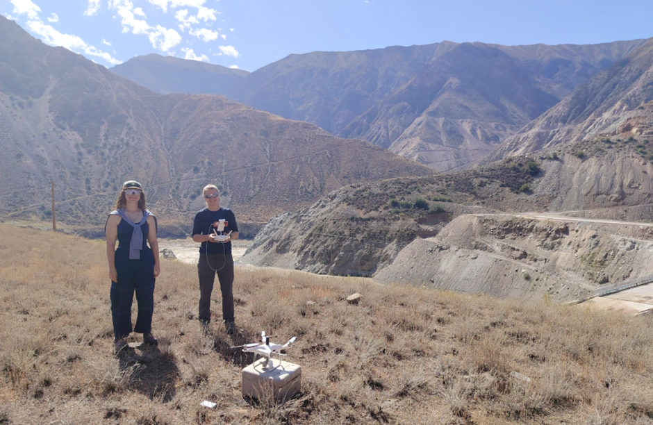
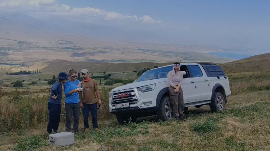
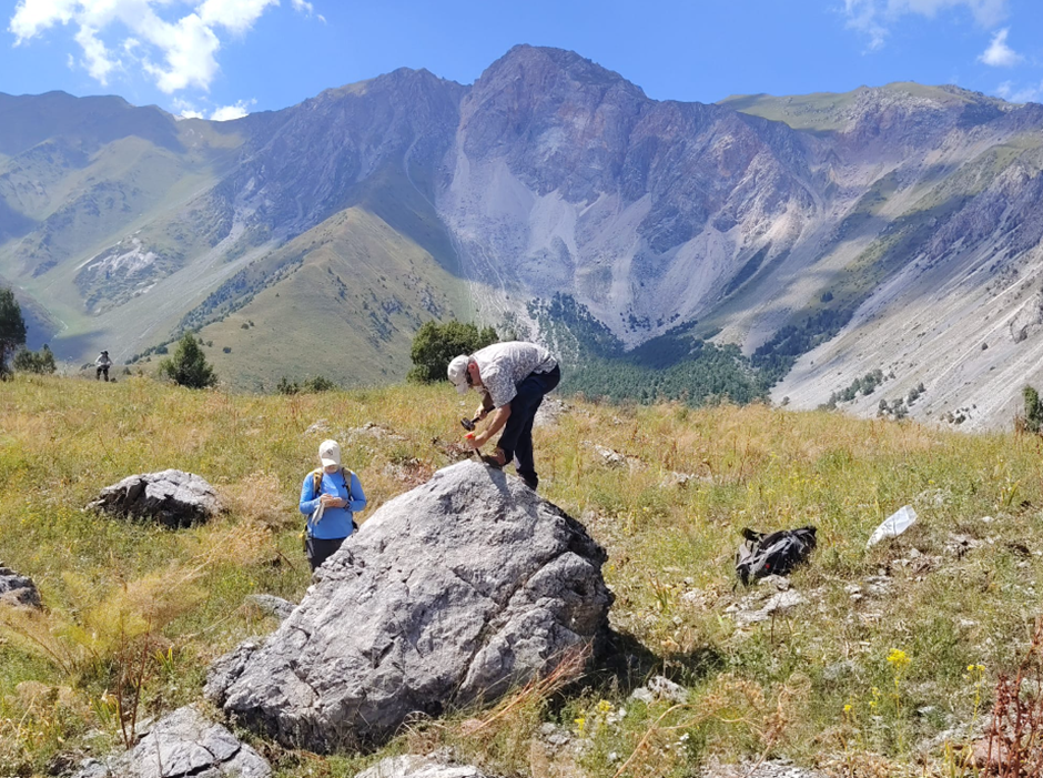
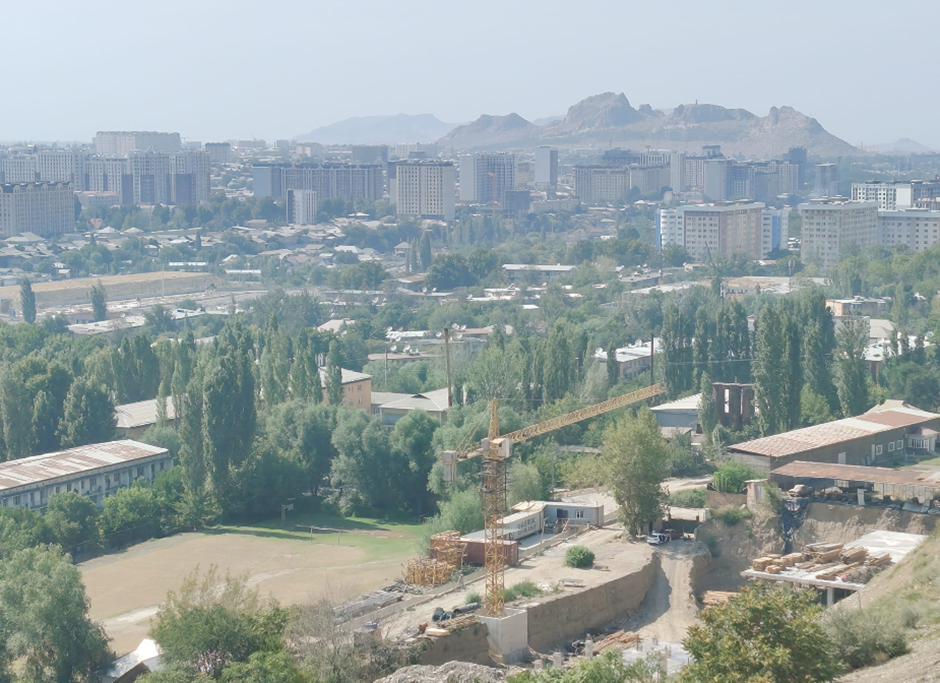
From Toktogul we crossed the Fergana range and stopped in Osh for a very hot reconnaissance of active faults. The margins of the Fergana basin are deforming and young geological folds are visible in the landscape. The records of earthquakes are, however, relatively sparse. We aim to build our initial observations from Osh into a wider programme of active fault studies in the Fergana basin region.
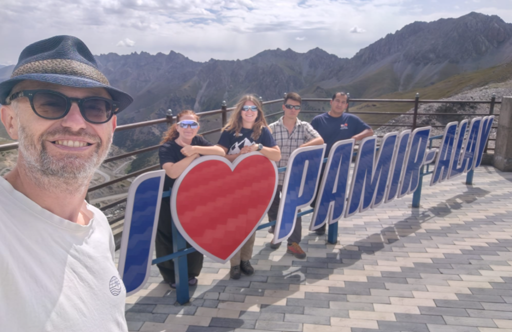
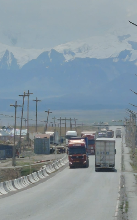
We next headed to the Alai valley in the far south of Kyrgyzstan. I last visited this spectacular valley in 2014 and have wanted to return ever since. It is a high-altitude valley, separating the Tien Shan on its northern side from the Pamir on its southern side. The Pamir peaks rise to over 7000 m, though on our visit this year the highest peaks remained shrouded in clouds. Two things that really strike me about the landscape in this region is how large everything is, and also how young. Proximity to the glaciers of the Pamir causes the landscape to be very sensitive to minor climatic shifts, with repeated cycles of alluvial fan development and incision. Our aim this year was to revisit sites from a fieldtrip of some years back, to collect additional samples needed to complete the work.
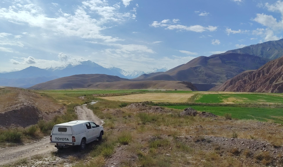
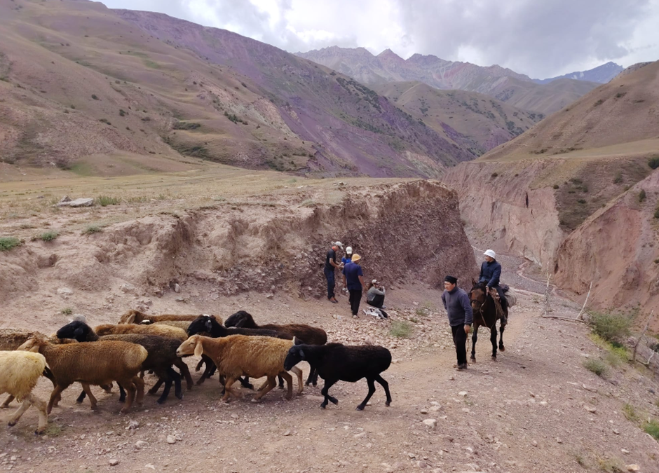
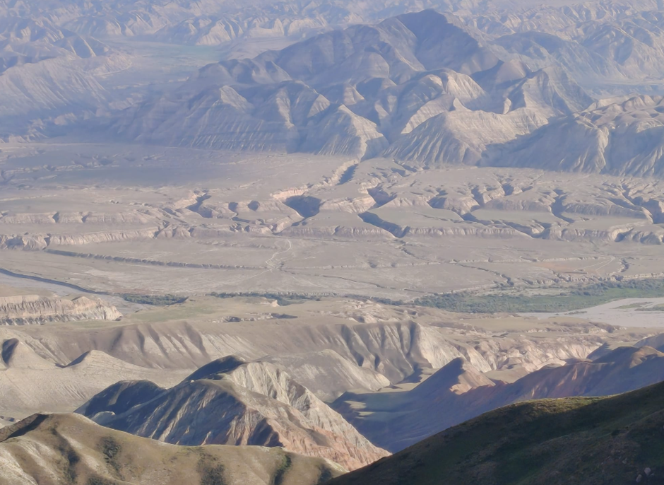
Our work was now complete, but the drive back to Bishkek from the Alai valley takes two full days. We returned through Osh, and then took the brand new (and spectacular) road over the Fergana range to Kazarman. From Kazarman we passed eastwards through regions affected by the giant prehistoric Beshkiol landslide. We then entered the Naryn basin with an amazing view across the folded and exhumed basin sediments, and the sequences of terraces of the Naryn river.
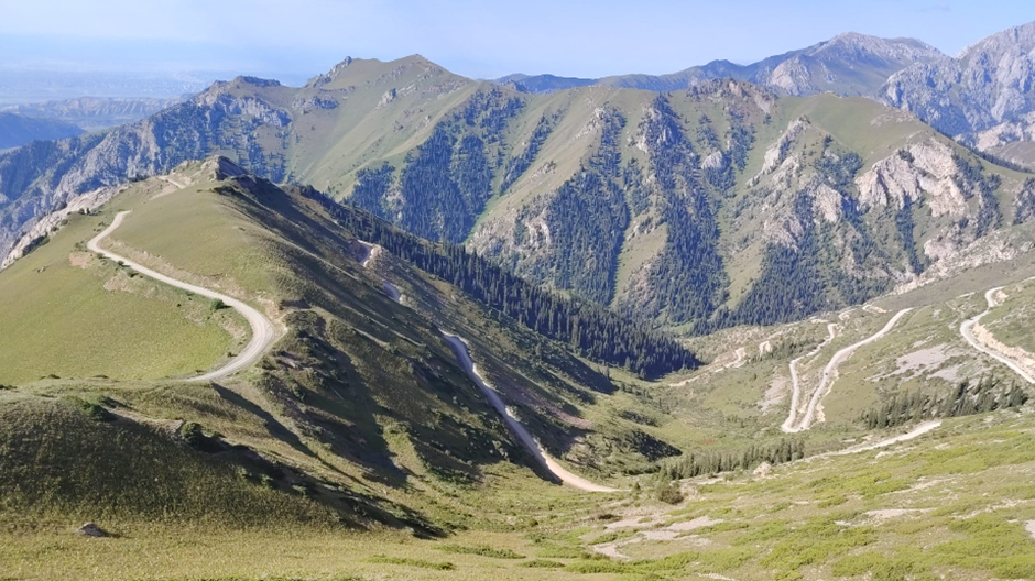
As a final treat, we took the road past Song Kul to return to Bishkek via Kochkor. Song Kul was a real highlight for me, as it is a place I have never had opportunity to visit. It was a beautiful place and reminded me in many ways of the landscapes of Mongolia.
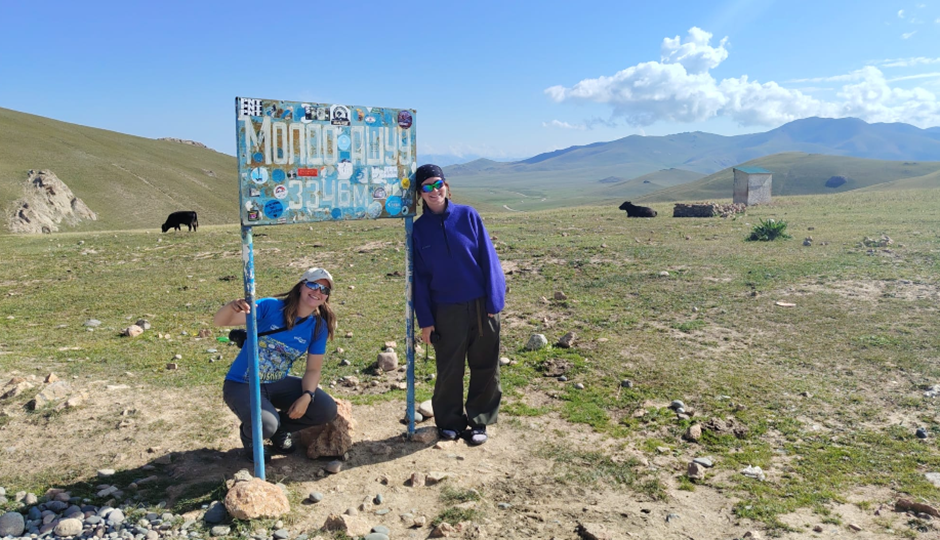

We had a final day in Bishkek, and the traditional end-of-trip Shashlik party. It was a short visit this year, but with an awful lot packed in. We are hopeful that our samples and observations will help complete a number of projects, and also open up potential for new important work over the coming years. With thanks as always to our colleagues in the Institute of Seismology and to our funders in the UK. Our group consisted of Erkin Rakhmedinov (Institute of Seismology), Ruslan Muhambetov (Institute of Seismology), Krzysztof Gaidzik (University of Silesia), Emma Greenough (D.Phil student, Oxford), Charlotte Waldron (Masters student, Oxford), Laurianne Gariepy (Masters student, UQAM).