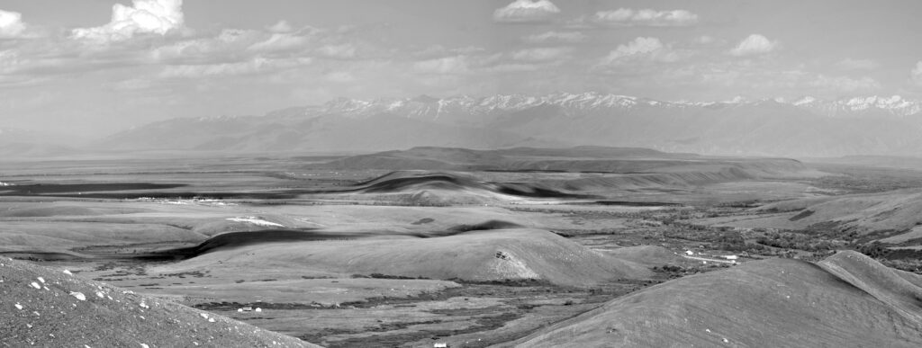
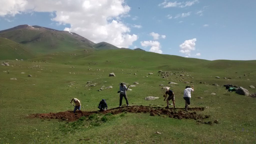
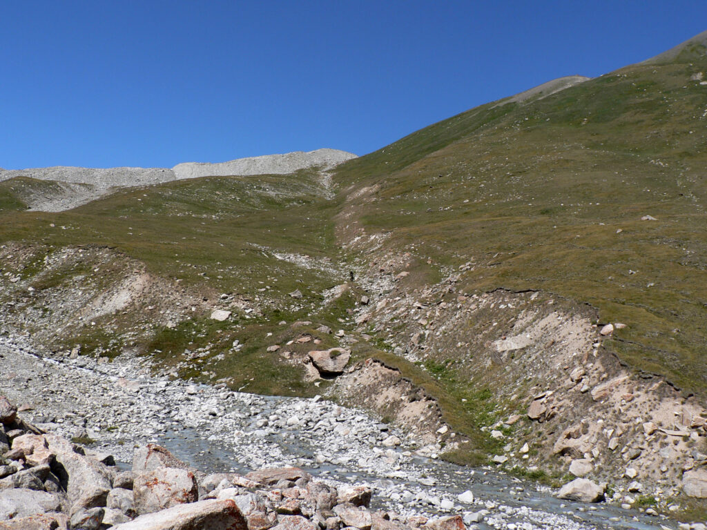
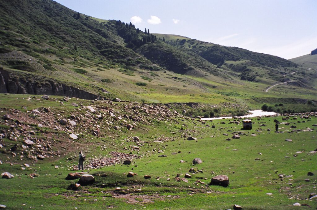
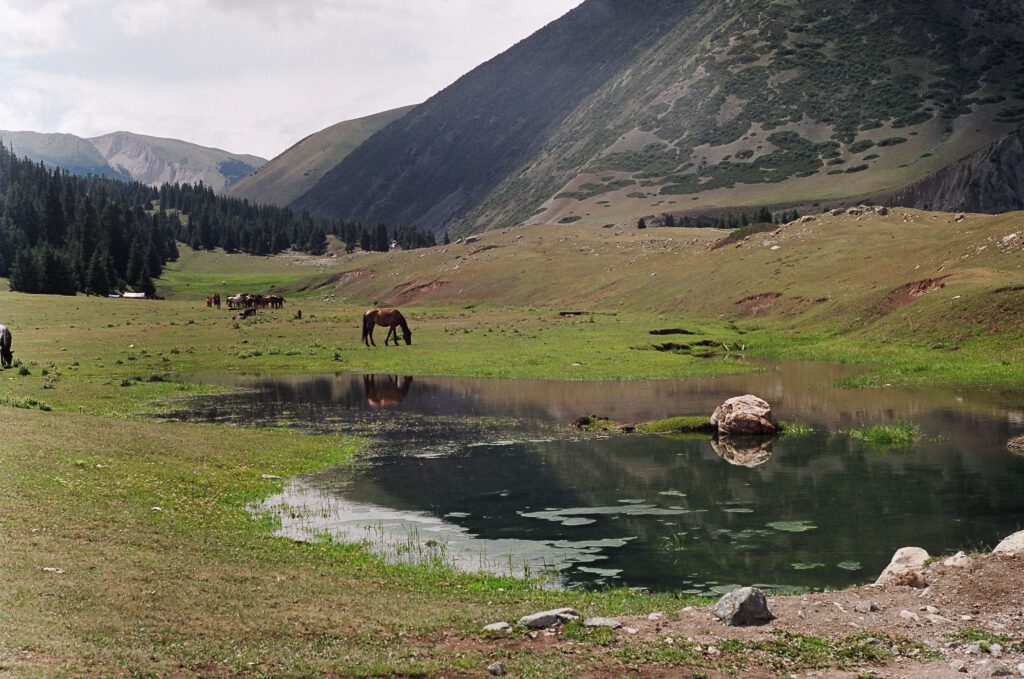
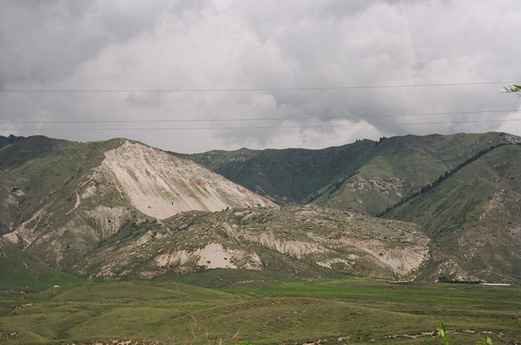
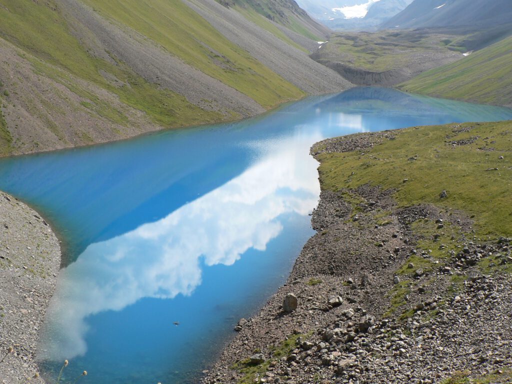
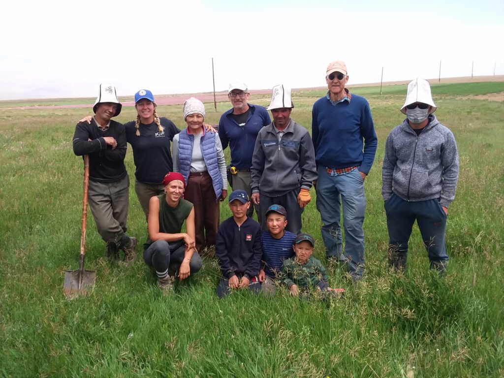
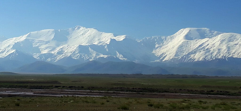
In Kyrgyzstan we focus on the tectonics of the Tien Shan and its distributed shortening. We use historical earthquakes such as the 1992 Suusamyr events to get insights into the active faults, and we make use of extensive remote sensing data to map active structures. In the field, we excavate trenches across faults to better understand the earthquake history and maximum possible magnitudes for single faults. Currently we are concentrating our efforts in the NATO-funded project SPS G5690 – “Earthquake Hazard and Environmental Security in Kazakhstan and Kyrgyzstan” in the framework of the Science for Peace and Security (SPS) Programme. This project will run for three years (2020 – 2023) and is aimed at a better understanding of the active faults in the area and the hazard they pose for people and infrastructure.