Though most of our work is focused in the earthquake-prone regions of Asia, many of the methods we employ have general applicability, and there are many similarities in the landscape and structural development along major compressional mountain ranges worldwide. Last year we were contacted by Prof. Afaf Amine from Mohammad V University in Rabat, Morocco, who invited our team to visit and help define a programme of active fault studies around the Atlas mountains.
The work was prompted by a magnitude 6.8 earthquake, which occurred 23.11 local time on 8th September 2023. It exposed 2.8 million people to strong shaking, and caused widespread damage and loss of life, with a death toll of almost 3000 people, and many more injured and homeless. It caused large amounts of damage to rural communities within its epicentral region, close to the town of Ighil within the High Atlas Mountains, but also more widely including in the city of Marrakech some 70 km to the northeast. Along with dwellings, important cultural heritage sites in Marrakech were damaged.
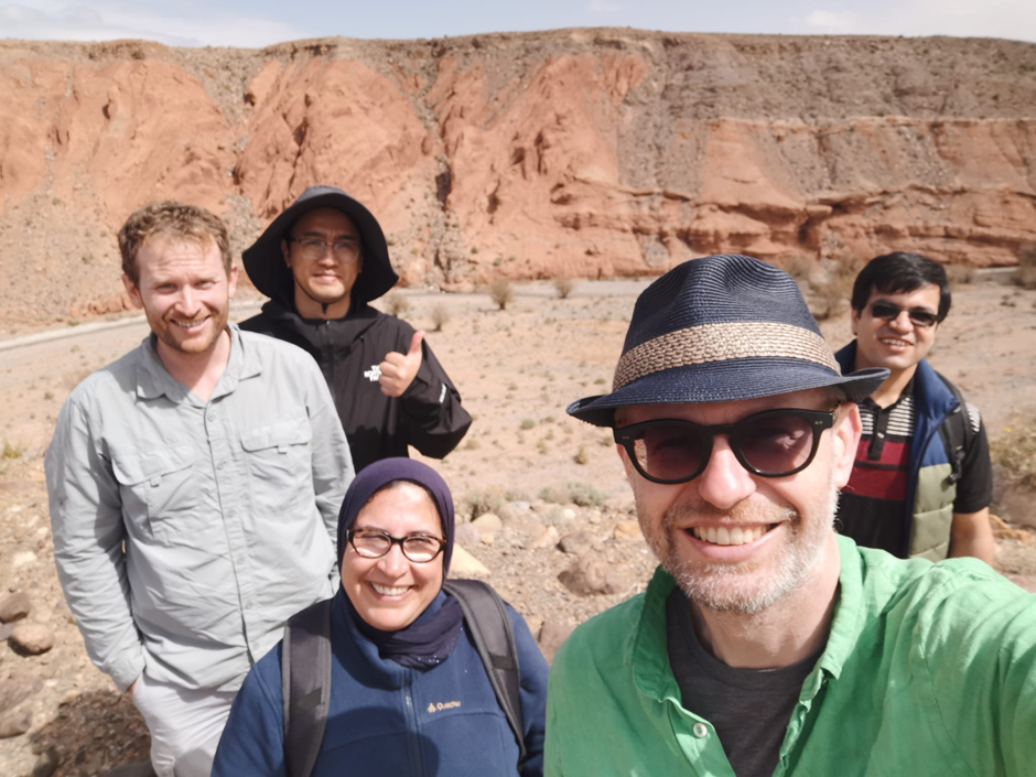
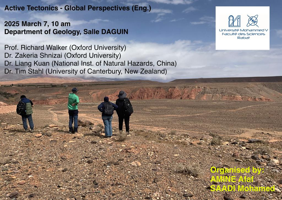
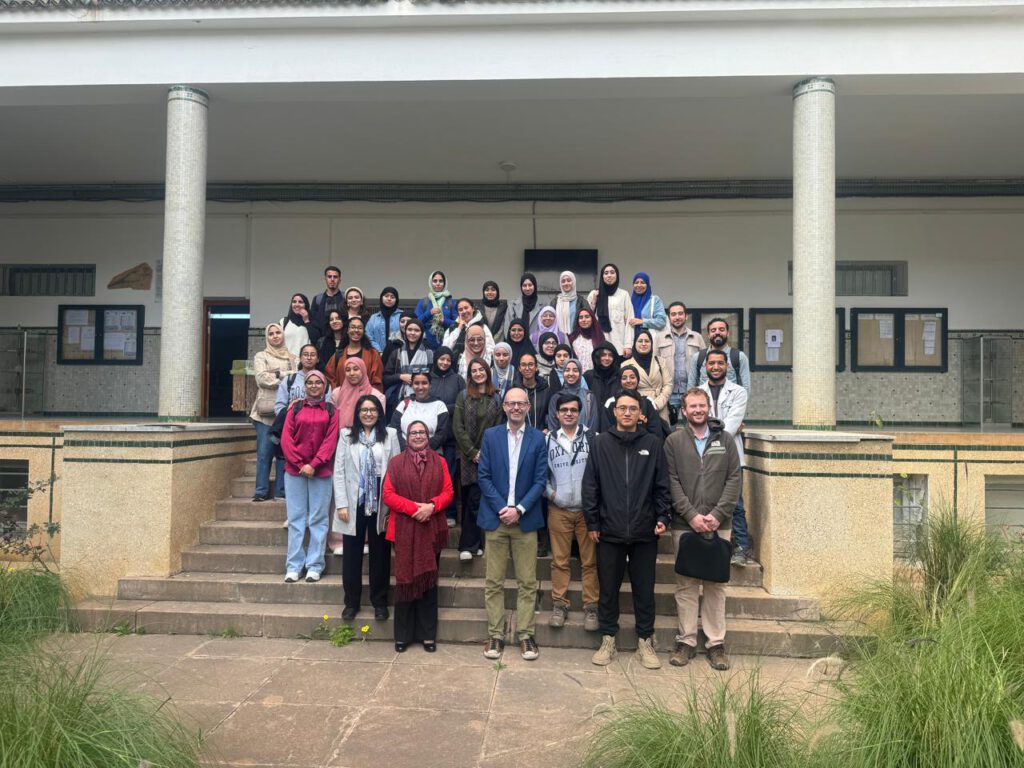
The team comprised of Afaf and her colleague Mohamed Saadi from Rabat, along with me and Zakeria Shnizai from Oxford. We were also joined by Kuan Liang and Tim Stahl, who are both currently based in Oxford during sabbatical leave from their positions in the Chinese National Institute of Natural Hazards and the University of Canterbury in New Zealand. Altogether we had five nationalities represented in our group of six, making for a great opportunity to learn from one another, and also to present perspectives on earthquake hazards for our various experiences.
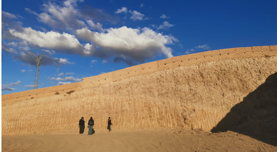
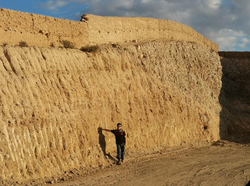
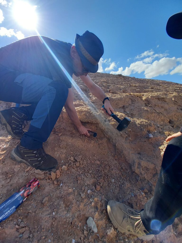
For much of the fieldwork we were based in Marrakech, and drove out to examine evidence of reverse faulting in the surrounding region. During this part of the trip we were really lucky to find a series of excellent exposures, showing a range of secondary faulting in the hanging-wall of a thrust fault. We also found a truly spectacular exposure of the primary thrust itself, which helped us get a handle on where it comes to the surface which will help any follow-up trenching expedition.
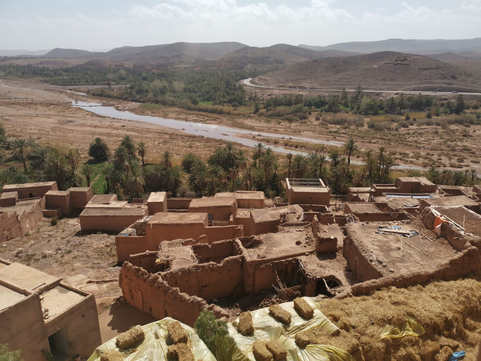
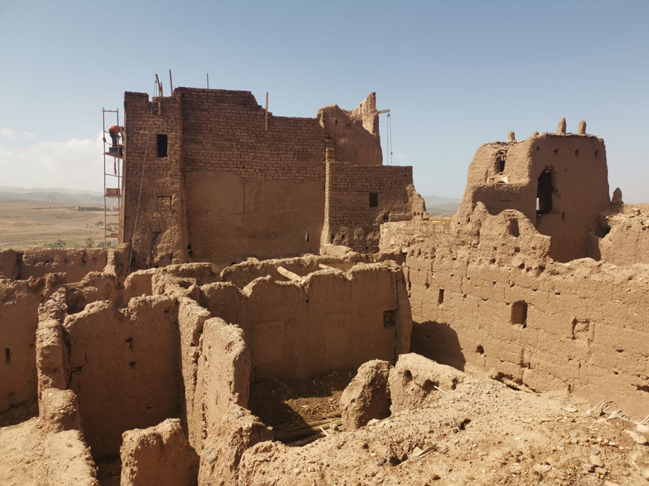
We also travelled southwards, to examine landsliding and potential active faulting in the epicentral region of the earthquake, and also passed through to the southern side of the mountains to look at the faults of the Ouarzazate basin. Here we were guided by previously published papers to some stunning fault exposures. We also took time to visit some of the spectacular Kasbah fortresses and to contrast the traditional earthen village dwellings with the newer masonry and concrete buildings. Even out here, quite far from the earthquake epicenter, damage was sustained in some of the villages.
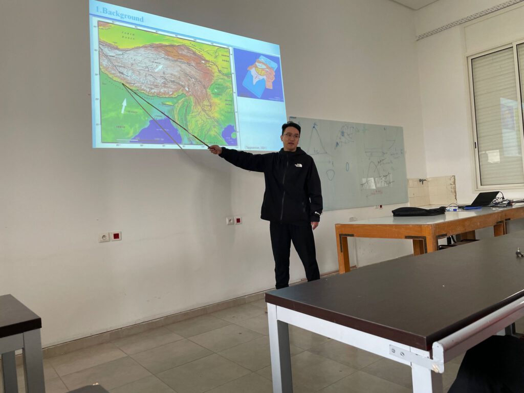
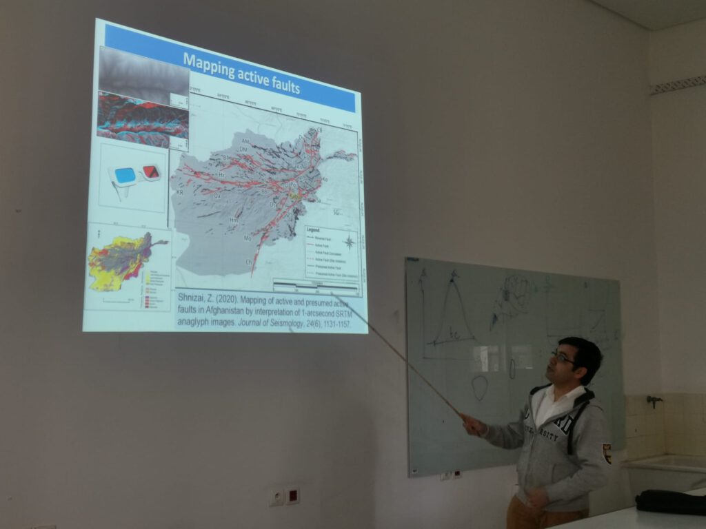
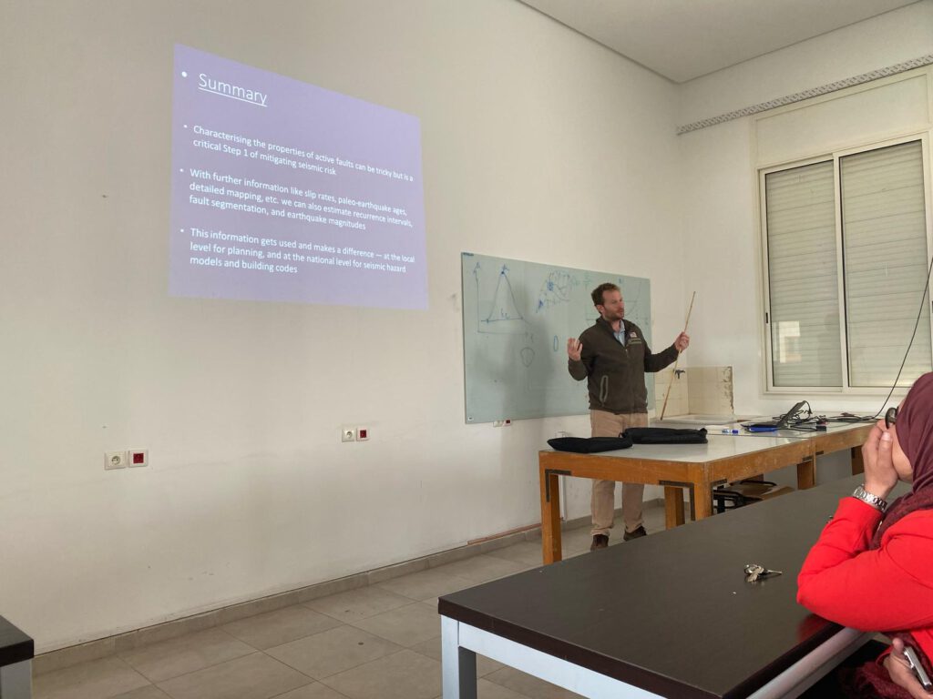
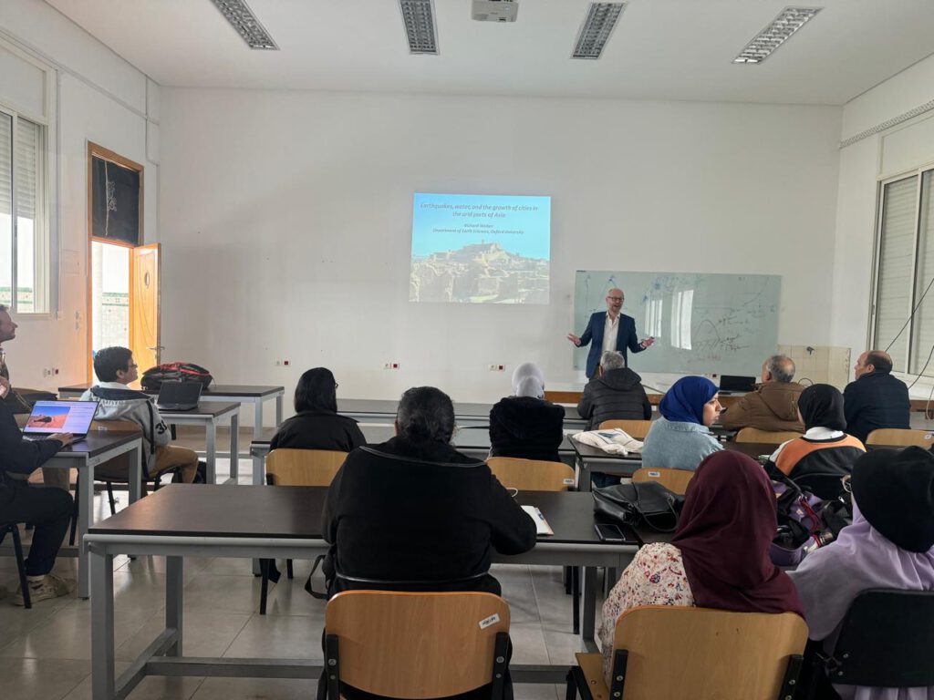
One of the main aims of the trip was to establish the collaboration between Oxford University and the Mohammad V University of Rabat, and to define a programme of future research. For the final part of our visit we travelled by train to Rabat, where we visited the University and had a day of discussions and sharing of knowledge on active faulting in different regions. We were able to give presentations on the active tectonics of central Asia, China, Afghanistan, and New Zealand to the undergraduate and masters geoscience students.
Our trip was supported through an Africa Oxford Initiative (Afox) Collaborative Catalyst grant awarded to Amine. We are grateful for their kind support, and are confident will lead to important and long-running projects.