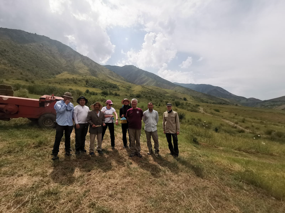
A joint team from Oxford, the Institute of Seismology in Bishkek, and the National Nuclear Center in Almaty undertook several weeks of fieldwork in July and August of 2024, within the framework of our NATO SPS project on environmental security in the Tien Shan. Our particular interest in this field project was to investigate evidences for active faulting and to assess the types and frequency of earthquakes that might occur on faults in the Toktogul basin. The main road connecting North and South Kyrgyzstan passes through this valley, and there are several existing and proposed hydropower plants along the Naryn river. Understanding the distribution of active faults, the styles and magnitudes of earthquakes, and the timing of past events is therefore important for estimating earthquake hazard to the infrastructure, as well as to local populations.
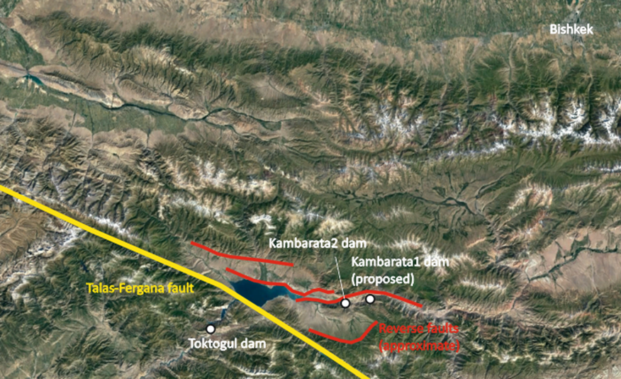
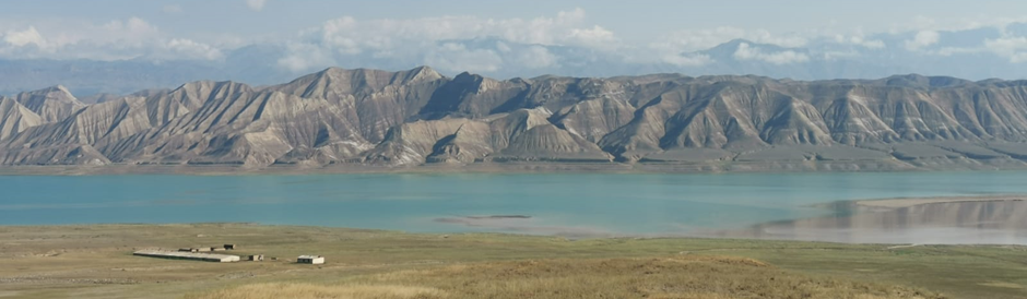
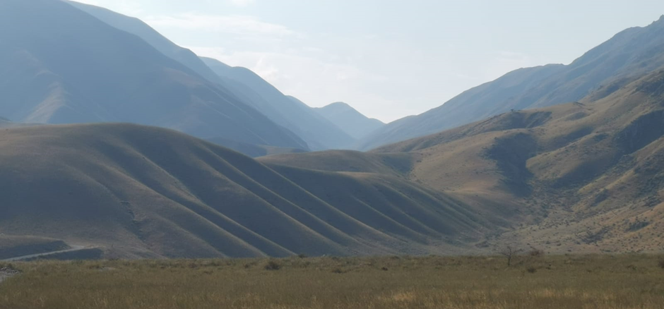
Our first group of sites were on the Talas-Fergana fault, which bounds the western side of the basin. The Talas-Fergana fault is one of the major strike-slip faults of Asia, and cuts straight through the Tien Shan. A component of vertical motion has raised the Fergana range along its western side – an almost uninterrupted wall of mountains that restricts transport across it to a small number of roads. The Toktogul dam is built within the Fergana range, within the gorge of the Naryn river. A proposed rail route between China and Uzbekistan will cross the range, and fault.
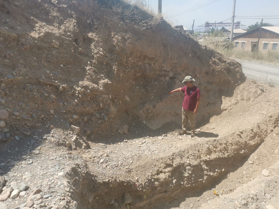
The Talas-Fergana fault is very long, and there are no recorded large earthquakes along much of its length. Through the excavation of paleoseismic trenches we are hoping to assess how often, and how large, the potential ruptures might be.
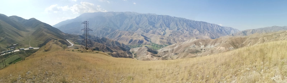
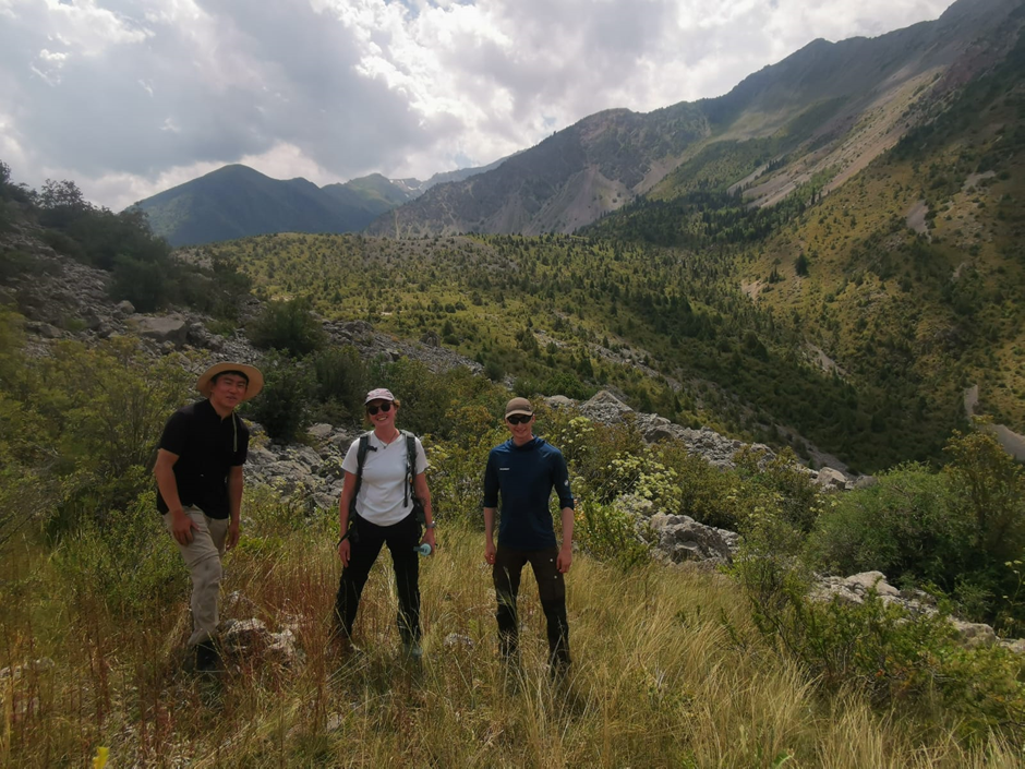
The Talas-Fergana fault does not only pose a hazard due to shaking from earthquakes. A number of very large landslides are observed along it, which may have been triggered in prehistoric earthquake events. We visited one of these landslides driving south along a beautiful hidden valley along the fault trace. By studying the effects of past earthquakes on landsliding we can better understand the potential for landsliding should earthquakes occur in future.
A second group of studies looked at surface-ruptures along the reverse faults within the basin interior. Of particular interest here were exposures through the fault that can hopefully bracket the timings of past earthquakes. Study of the reverse faults is important given the building of new hydropower plants in the basin.
The 2024 Tien Shan field season was supported through the NATO Science for Peace and Security program. This is the final field season of this extremely worthwhile and scientifically interesting programme, which is an international collaboration between researchers from Kyrgyzstan, Kazakhstan, the UK, France, Germany, and the USA. We will make an essay summarising our findings later in the year, along with our recommendations for the future.