We report on initial results from a new project providing up-to-date active fault maps and earthquake potential in the vicinity of proposed hydropower plants in central Kyrgyzstan. The project includes primary research and a series of training and networking activities. It is funded through the UK Foreign, Commonwealth, and Development Office (FCDO).
Kyrgyzstan is currently investing in widespread hydropower infrastructure, with developments ranging from small plants to some of the largest in the world. The projects are important in the transition to renewable sources of energy production, and will bring significant income through energy exports.
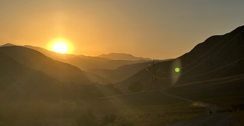
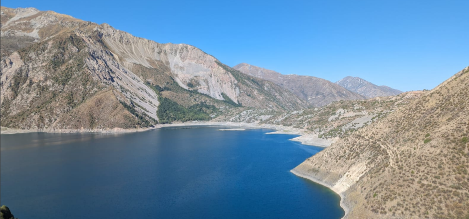
But the mountainous parts of Kyrgyzstan are prone to earthquakes, meaning that there is an urgent need to build the underpinning maps and data that are necessary in order for the dams to be resistant to shaking and to avoid sites susceptible to ground rupture. Since early 2025 we have been working on a project to deliver these data across central Kyrgyzstan, with support through the UK Foreign, Commonwealth, and Development Office Climate Energy and Water Security in Central Asia Programme.
A big challenge in identifying sources of earthquake hazard in the Tien Shan is the long time interval between major earthquakes on any one fault, which are usually measured in thousands of years. A glance at the map of recent earthquakes in Kyrgyzstan might suggest that the Naryn river basin, where many of the dams will be sited, is pretty quiet compared to other parts of the Tien Shan. The landscape, however, shows the region to be sliced through by numerous fault-lines that have ruptured in the prehistoric past. This means we must supplement catalogues and maps of recent earthquake epicentres with insights from much further back in time, using the record of warping, folding, and faulting of the earth’s surface to interpret past earthquakes over time periods of many thousands of years.
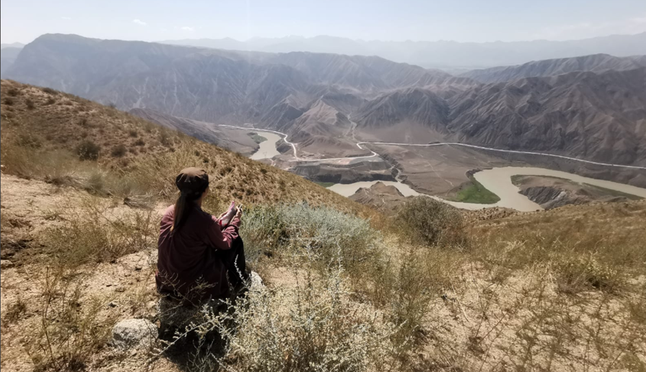
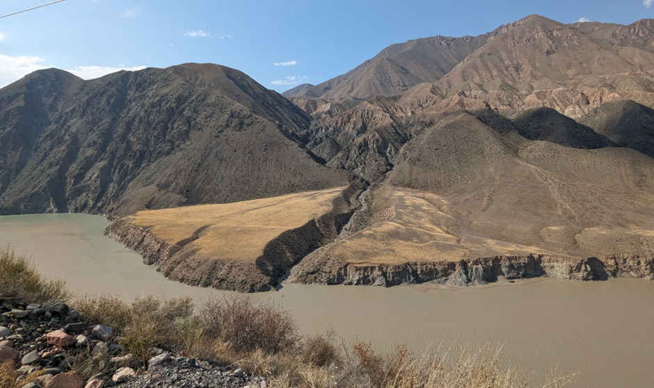
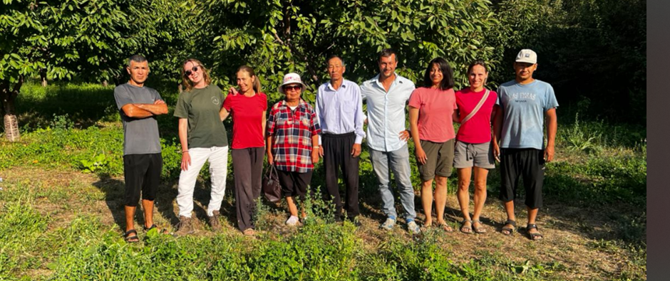
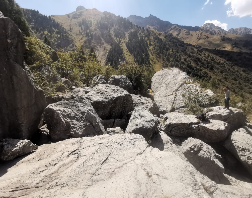
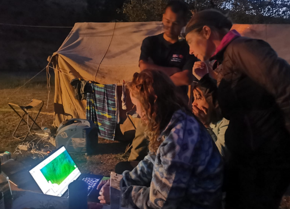
We are using satellite imagery and digital elevation data to map the fault lines in detail, such that they can be mitigated for in dam design. The satellite imagery offers a wide-scale view, but it is also important to visit important selected sites in the field, to collect even more detailed survey data, and to verify observations made from afar. In August 2025 we completed a field visit, involving a team from Kyrgyzstan, Canada, Germany, the UK, and the USA, making detailed observations around the existing Kambarata-2 and proposed Kambarata-1 hydropower plants. We then spent some days investigating large rock avalanches along the nearby Talas-Fergana fault, which are an important hazard that can be associated with shaking from earthquakes.
On returning to Bishkek we made visits to the State Technical University, with discussions on future projects and training activities. The present project continues until the end of 2026, with the coming months devoted to production of the detailed maps, and with further visits and collaborative activities planned. We will keep you updated!