Julie Losen describes her recently published article presenting the first results of the analysis of the giant Beshkiol landslide and its associated lakes in Kyrgyzstan. The work is now published in the journal ‘Geomorphology’
https://www.sciencedirect.com/science/article/abs/pii/S0169555X24000710
Landslides pose a major hazard and are known to alter the regional physiography. Their impacts are particularly significant when they affect a river system, where they can form a dammed-lake upstream that poses a major flood hazard to the region downstream.
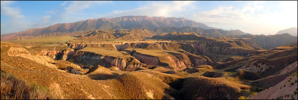
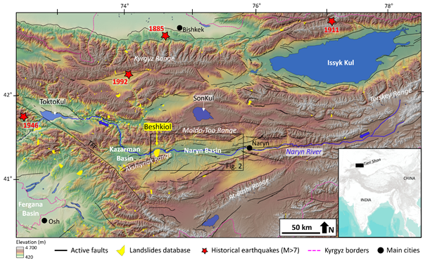
The Naryn River is the largest river in Tien Shan Kyrgyz and is economically important. The Beshkiol landslide, the largest in Central Asia, lies along this river and is thought to have blocked its course in the past (Upper Pleistocene), as evidenced by the thick lacustrine deposits and numerous paleo-shorelines preserved upstream. However, its age is unknown and no detailed study has been carried out to understand its history and impact on the valley.
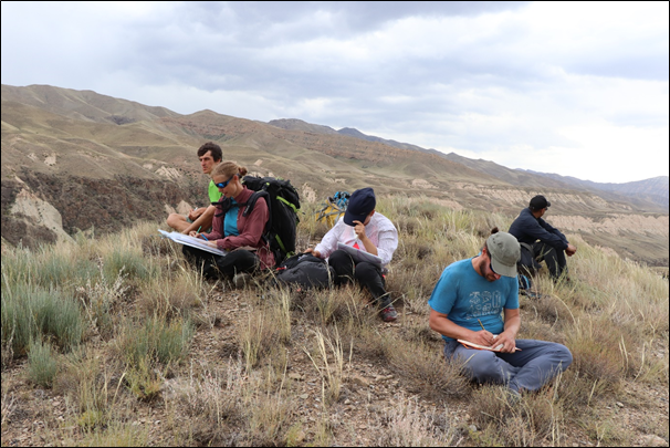
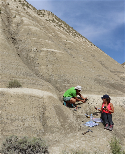
After several field missions in 2021, 2022 and 2023, we were able to summarise and understand the history of the largest landslide in Central Asia, the Beshkiol landslide. Our study provides a solid chronological framework for understanding the dynamics between the Beshkiol landslides and the dammed-lakes in the Naryn Basin through detailed geomorphological and sedimentological analyses, combined with luminescence and 14C dating.
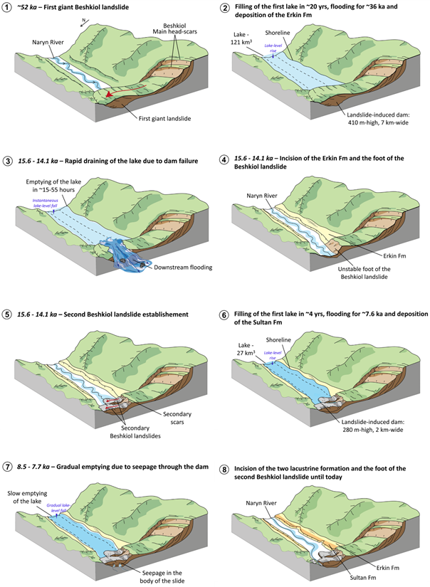
We propose that the Beshkiol landslide was first triggered 51.9 ± 4.4 ka ago, forming a 410 m high dam blocking the Naryn River. The nature of the trigger for this 10 km3 landslide is still debated, but we favour the hypothesis of an earthquake of sufficient magnitude to destabilise this slope.
An initial lake with a total volume of 121 ± 50 km3 persisted in the valley for more than 37.0 ± 5.1 ka, one of the longest residence times of a natural landslide dammed-lake ever documented worldwide. Our sedimentological observations reveal a catastrophic emptying between 15.6 and 14.1 ka cal BP, probably related to the failure of the dam. Fluvial conditions were briefly restored in the valley, followed by renewed activation of the landslide toe (280 m high dam) and subsequent flooding by a second lake of 27 ± 10 km3. This second failure appears to coincide with the Bølling-Allerød interstadial climatic event, which may have been responsible for the rupture of the unstable toe of the original landslide due to an increase in precipitation.
This second lake remained stable for 7.7 ± 1.3 ka before gradually draining until the valley was completely dry. This was followed by a period of fluvial erosion, which is still active in the Naryn Basin today.
Today, the unconsolidated distal part of the Beshkiol landslide could be remobilised in the event of an earthquake and/or extreme rainfall event, potentially damming the Naryn River with major regional economic consequences.