As part of an ongoing programme funded by the UK FCDO we undertook a field workshop in Kazakhstan, 10-20th November, which had the aims of 1) Provision training in making field-based earthquake geology observations, 2) Providing a forum for discussion of national priorities and networking, 3) Looking for opportunities for further work in the central Asian countries related to active fault mapping and characterization, and means of identifying and monitoring regions of landslide hazard.
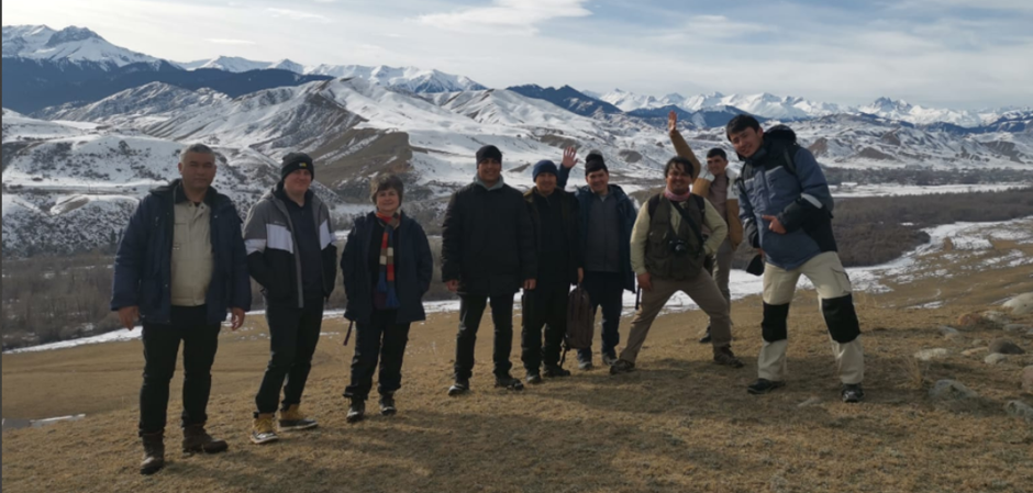
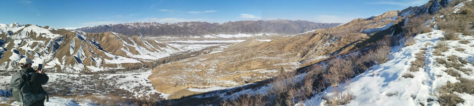
The workshop took place in Saty, near the Kolsai national park. This is also the epicentral zone of the magnitude 8+ 1889 Chilik earthquake, and we were able to spend much of our time out in the field, gaining experience of mapping and site selection, surveying with drones, paleoseismic trench interpretation, and sampling for a range of quaternary dating techniques. We combined the field activities with analysis of the data, formal lectures, and conference-style presentations.
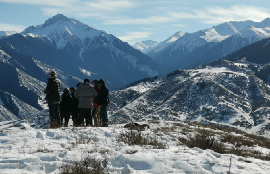
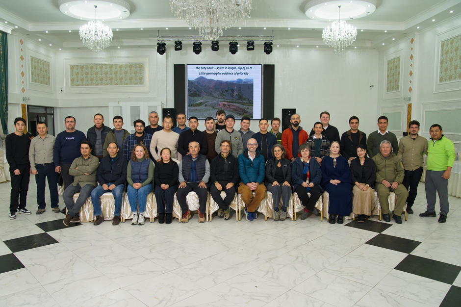
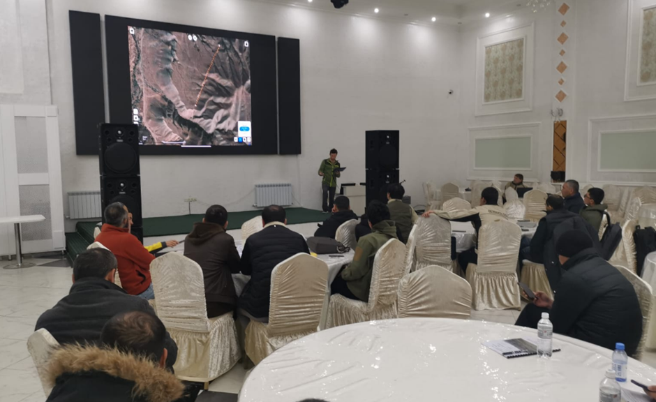
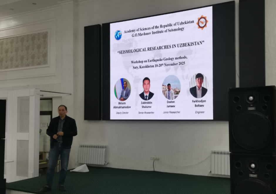
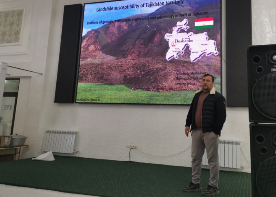
Through support from the FCDO we were able to support researchers from national institutes and universities across all five central Asian republics (Kazakhstan, Kyrgyzstan, Tajikistan, Turkmenistan and Uzbekistan) and we had further invited representatives from the south Caucasus (Armenia, Azerbaijan, Georgia). From Europe we had representatives from the Italy, Poland, and the UK. We also had colleagues from Chile and the USA. The total size of our group was 39, enabling ample opportunity for discussions and the development of programmes at local, national, and international scale.
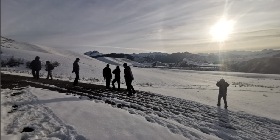
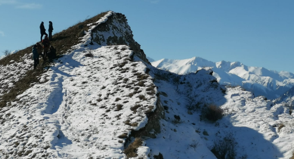
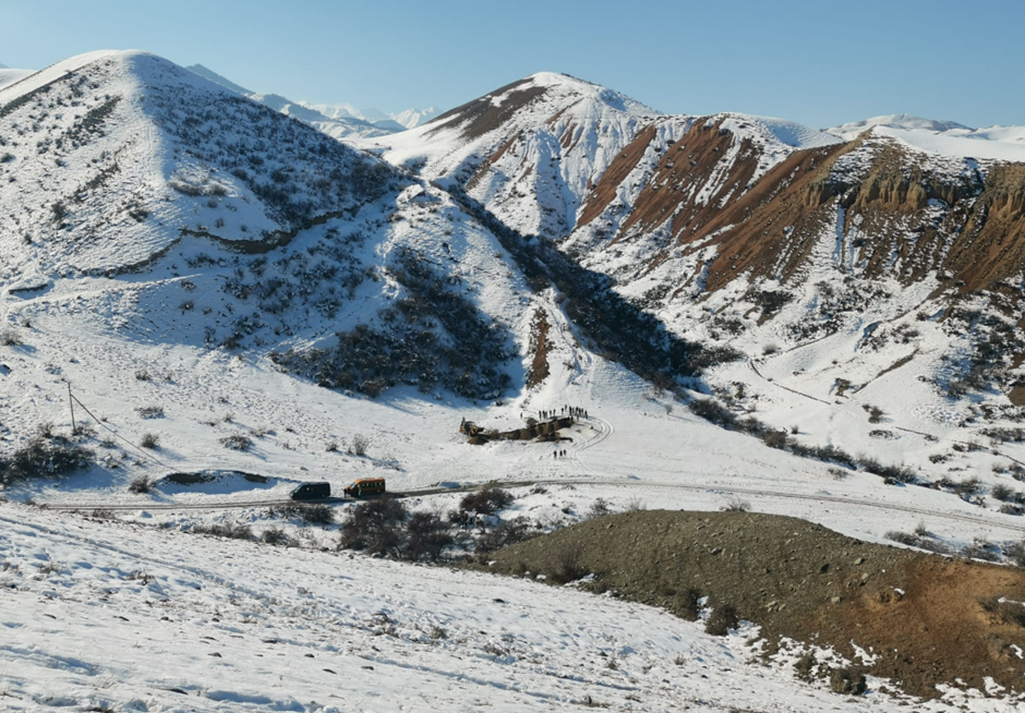
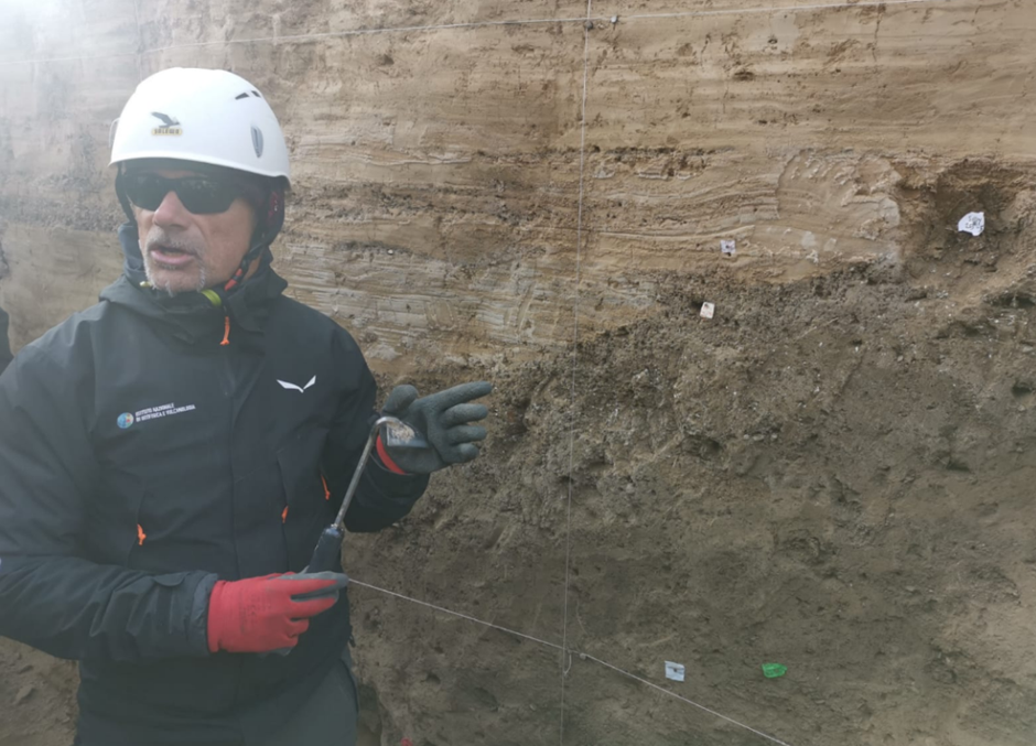
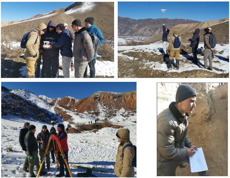
A centre-piece of the training activities was the excavation of a paleoseismic trench across the 1889 ruptures, close to the site excavated and published by Abdrakhmatov et al. (2016). The trench enabled a rare glimpse into the near surface expression of a major historical earthquake. The workshop attendees all had opportunity to see the process of trench analysis, from cleaning and gridding of the walls, digital and paper logging of the stratigraphy and structure, through to sample collection and closure of the excavation. We walked along the ruptures, demonstrating field mapping techniques and interpretation of the landscape, and all participants had hands-on experience of helping make digital topographic surveys to aid site interpretation.
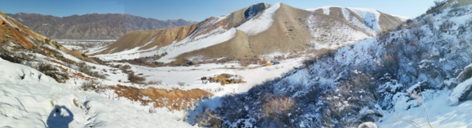
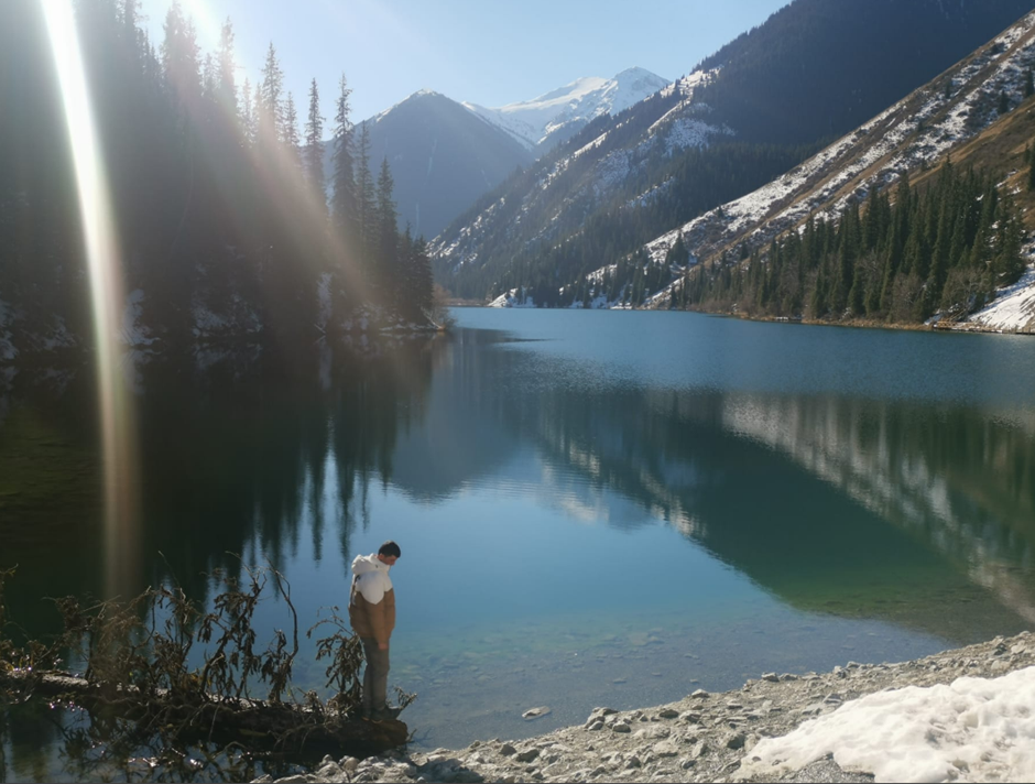
Landslides are an important hazard associated with earthquakes, and we examined a range of different landslide types including the Kaindy bedrock avalanche, which occurred during the 1889 earthquake and caused the picturesque Kaindy lake and inundated forest to develop. We contrasted the Kaindy landslide with those developed in soft basin sediments at Kolsai and along the main Chilik river. We examined evidence in the landscape for a huge prehistoric slide that blocked the entire Chilik river, and studied a large landslide that was reactivated in 2018 due to a combination of sustained heavy rainfall and earthquake triggering, and threatened to cut access to the Kolsai national park.

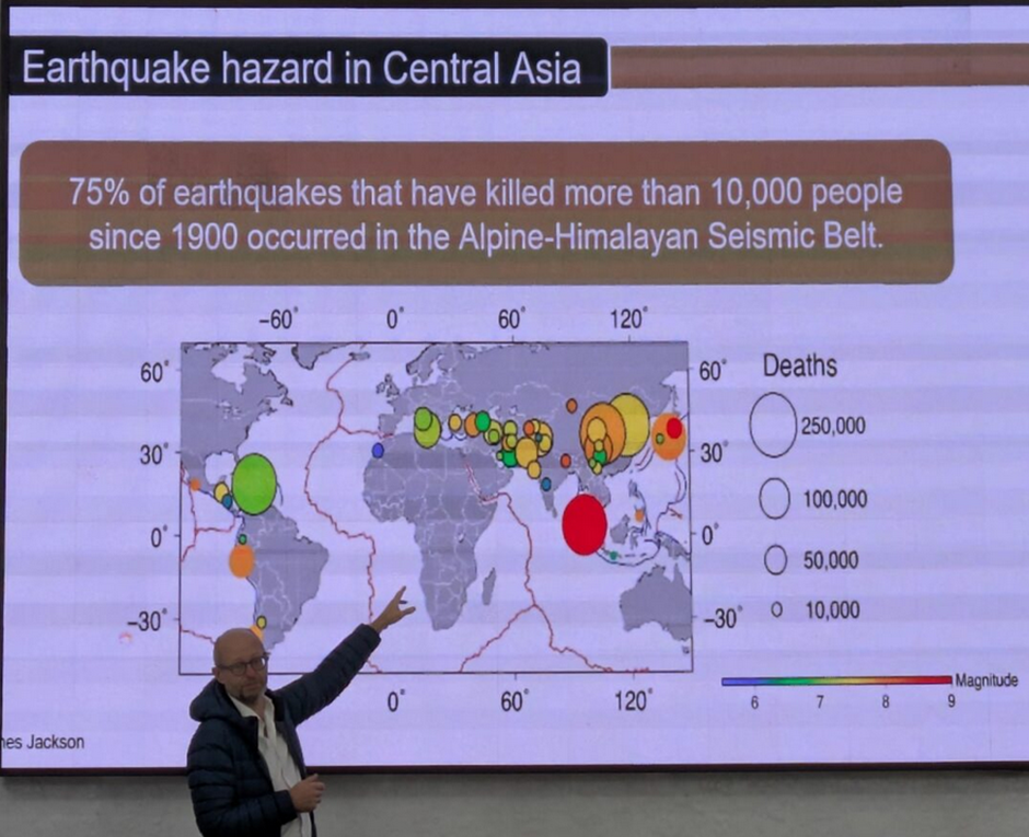
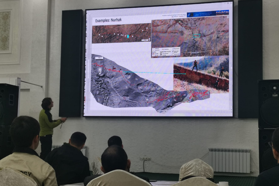
Daytime field visits were combined with evening analysis sessions of the digital data acquired in the field, and also a programme of formal lectures on paleoseismic interpretation, geomorphology of landscapes, quaternary dating methods, the use of damage to heritage buildings as indicators of historic earthquakes, and the interpretation and analysis of lake records to infer earthquake shaking. Results of post-earthquake rupture survey were presented to show the types of structures that develop, and the complexity of fault ruptures.

An important aim of the workshop was in developing recommendations for wider application of geological earthquake research across central Asia, particularly in projects aiding risk reduction to urban centres and infrastructure developments. The key takeaways from the meeting were:
1) A need to widen and accelerate programmes of active fault mapping and site investigation across central Asia, particularly given the context of urban growth and infrastructure development. Several potential programmes were discussed, with hopes to develop further over the coming year.
2) Landslides are recognized as a widespread and growing problem in terms of infrastructure safety across central Asia, particularly in the context of ongoing climatic changes (extreme rainfall events, thawing of the ground).
3) There is a need to apply the most up-to-date high-resolution satellite imaging and digital topographic models to achieve the required resolution. Also there is much value in combining techniques from geology, geophysics, and remote sensing.
4) Opportunities for training for early career researchers is of particular importance in strengthening of capacity. We should continue to search for opportunities to widen access to overseas scholarships to the UK and other countries.
A number of collaborations, ideas, and follow-up activities are planned. Throughout the meeting we were grateful to the kind support of the Akim and the National Park management, and look forward to continued interaction through continued landslide monitoring at Kolsai, and through the development of a tourist information board and geotrail along the earthquake ruptures.
We acknowledge the kind support of the Foreign, Commonwealth and Development Office of the UK the Institute of Geophysics, the National Nuclear Center of the Republic of Kazakhstan, and for all of the participants and their institutions.