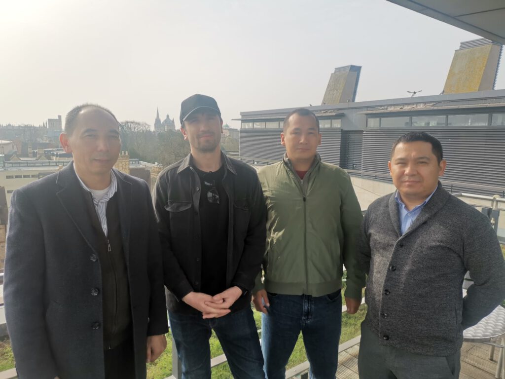
During our November 2025 workshop in Saty, Kazakhstan, we organised for a documentary to be made, explaining what we do and why it is important for earthquake hazard assessment. The documentary is in Russian (inc Russian subtitles), with some English dialogue.
We have also produced a summary and recommendations letter, to capture the main points raised in discussions and the outcomes of the workshop. You can view and download the document below
As part of an ongoing programme funded by the UK FCDO we undertook a field workshop in Kazakhstan, 10-20th November, which had the aims of 1) Provision training in making field-based earthquake geology observations, 2) Providing a forum for discussion of national priorities and networking, 3) Looking for opportunities for further work in the central Asian countries related to active fault mapping and characterization, and means of identifying and monitoring regions of landslide hazard.
The workshop took place in Saty, near the Kolsai national park. This is also the epicentral zone of the magnitude 8+ 1889 Chilik earthquake, and we were able to spend much of our time out in the field, gaining experience of mapping and site selection, surveying with drones, paleoseismic trench interpretation, and sampling for a range of quaternary dating techniques. We combined the field activities with analysis of the data, formal lectures, and conference-style presentations.
We report on initial results from a new project providing up-to-date active fault maps and earthquake potential in the vicinity of proposed hydropower plants in central Kyrgyzstan. The project includes primary research and a series of training and networking activities. It is funded through the UK Foreign, Commonwealth, and Development Office (FCDO).
Though most of our work is focused in the earthquake-prone regions of Asia, many of the methods we employ have general applicability, and there are many similarities in the landscape and structural development along major compressional mountain ranges worldwide. Last year we were contacted by Prof. Afaf Amine from Mohammad V University in Rabat, Morocco, who invited our team to visit and help define a programme of active fault studies around the Atlas mountains.
Ruins of the old village of Gisk, eastern Iran. Destroyed in the 1977 Bob Tangol earthquake.
In a new article for the Royal Society of Asian Affairs blog, Richard Walker uses examples largely from Iran to talk through some of the reasons why populations are often focussed in regions of earthquake hazard, and why there is an urgent need to increase resilience.
It has been a real pleasure to spend the last two weeks in Mongolia, after a break of 11 years since my last visit. The reason was to attend the 1st Environmental Hazards in Asia meeting, hosted by the Institute of Astronomy and Geophysics (IAG) of the Mongolian Academy of Sciences, and with kind support through the Association Academies and Scientific Societies of Asia (AASSA), Rio Tinto and Oyu Tolgoi, COMET, the Mount Paektu Research Center, and others. I was honoured to be included as part of the organizing committee.
Sunset over Tsagaan Nuur, Tariat, during the post-conference fieldtrip
Active folding along the northern side of the Toktogul basin, viewed across the reservoir that occupies much of the basin interior.
A joint team from Oxford, the Institute of Seismology in Bishkek, and the National Nuclear Center in Almaty undertook several weeks of fieldwork in July and August of 2024, within the framework of our NATO SPS project on environmental security in the Tien Shan. Our particular interest in this field project was to investigate evidences for active faulting and to assess the types and frequency of earthquakes that might occur on faults in the Toktogul basin. The main road connecting North and South Kyrgyzstan passes through this valley, and there are several existing and proposed hydropower plants along the Naryn river. Understanding the distribution of active faults, the styles and magnitudes of earthquakes, and the timing of past events is therefore important for estimating earthquake hazard to the infrastructure, as well as to local populations.
Julie Losen describes her recently published article presenting the first results of the analysis of the giant Beshkiol landslide and its associated lakes in Kyrgyzstan. The work is now published in the journal ‘Geomorphology’
Ian Pierce describes his recent field trip to Azerbaijan, excavating trenches along the southern Caucasus thrusts and looking for evidence of historical earthquakes.
Krzysztof Gaidzik describes his recent experiences searching for past earthquakes and active faults as part of the Earthquakes in Central Asia project.
Bibi-Khanym Mosque strongly damaged during the 1897 earthquake.
This website uses cookies to improve your experience. We'll assume you're ok with this, but you can opt-out if you wish. Cookie settingsACCEPT
Privacy & Cookies Policy
Privacy Overview
This website uses cookies to improve your experience while you navigate through the website. Out of these cookies, the cookies that are categorized as necessary are stored on your browser as they are essential for the working of basic functionalities of the website. We also use third-party cookies that help us analyze and understand how you use this website. These cookies will be stored in your browser only with your consent. You also have the option to opt-out of these cookies. But opting out of some of these cookies may have an effect on your browsing experience.
Necessary cookies are absolutely essential for the website to function properly. This category only includes cookies that ensures basic functionalities and security features of the website. These cookies do not store any personal information.
Any cookies that may not be particularly necessary for the website to function and is used specifically to collect user personal data via analytics, ads, other embedded contents are termed as non-necessary cookies. It is mandatory to procure user consent prior to running these cookies on your website.