Ben Johnson, a PhD student from the University of Oxford, describes his experiences from fieldwork over the summer of 2021. Read on to find out more about the Alai valley, glacial histories, and shortening across the northern margin of the Pamir.
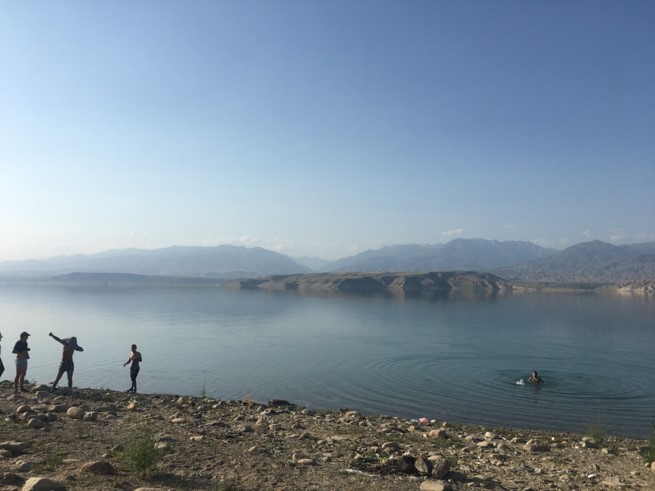
This summer, I went to Kyrgyzstan as part of my PhD on the tectonics of the Pamir. I joined Ian Pierce and our colleagues at the Kyrgyz Institute for Seismology: Sultan Baikulov, Erkin Rakhmedino, Gulkaiyr Tilek and Kanatbek Abdrakhmatov. Within minutes of my exiting Biskek airport, we were off on a two-day drive to the western end of the Alai Valley – the other end of the country. It was a pretty awesome drive, taking in incredible mountain roads, Osh: one of the oldest cities in Central Asia, and Toktogul Lake: which provided a much-needed swim after too long in the van.
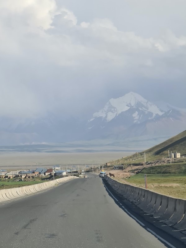
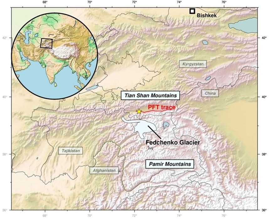
Our destination was Daroot-Korgan, a small town at the mouth of the Altyn-Dara valley. The Altyn-Dara is ~30km long and runs south-north into the larger Alai Valley. The area is interesting for two reasons. It is the site of some impressive tectonic offsets associated with the Pamir Frontal Thrust Fault (PFT), where the Pamirs are over-thrusting the Alai Valley and closing it whilst driving the mountains higher. There is also a huge set of glacial moraines which seem to be pretty old – much older than the Last Glacial Maximum (LGM) 20,000 years ago. The age of these will be a valuable data point in the climatic story of Central Asia.
Initially, we followed the fault traces we’d been able to see using Google Earth looking for useful sites. Sometimes we weren’t able to disentangle the tectonics from the farming – unfortunately, fault scarps make excellent irrigation canals. However, we were able to find some good sites with some tectonically offset sediments. We surveyed them with the UAS (see Ian’s blog post) and looked for ways to constrain the age of the offsets. By using geochronology to date the sediments, we aim to provide a lower bound on the slip rate of the PFT.
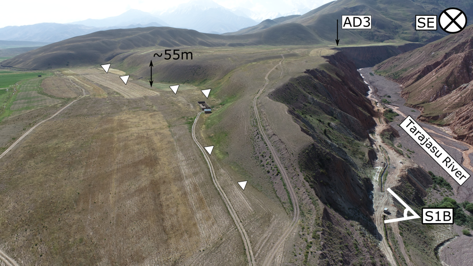
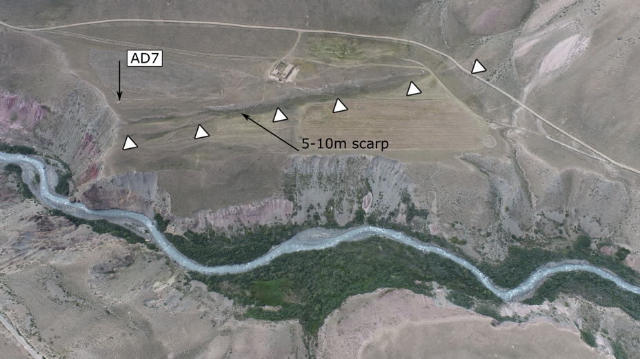
Some oblique drone views of tectonic offsets in the area. By dating the sediments, we can get a lower bound on the fault slip rate needed to produce the offset we observe today
We used two different approaches to date offset deposits. The first was Optically Stimulated Luminescence (OSL). This approach uses the fact that when quartz or feldspar grains are buried and blocked from light, radiation from the surrounding rock stimulates their electrons into an excited state: charging them up like a battery. By measuring the ‘charge’ in the grains and measuring the ‘charging rate’ of the surrounding rock, we can estimate the age the grains were buried – i.e. the age the deposit formed. The second method is 10Be exposure dating. It uses a similar idea as OSL: measuring how long a rock has been ‘charged’ by radiation, but instead of measuring the time the rock has been buried, this method measures the time it has been exposed to the sun.
To sample for OSL, we hammered aluminium tubes into sandy rock faces, removing them carefully and sealing them to prevent exposure to light, which would deplete the charge we use to date them. Sampling for 10Be dating was much more labour intensive: digging 2m pits to sample depth profiles was not fun. These depth profiles will allow us to calculate the exposure ages, along with any prior exposure the grains had before being deposited. However, this approach lead to some heavy samples. I think we collected ~100kg of rock in total!
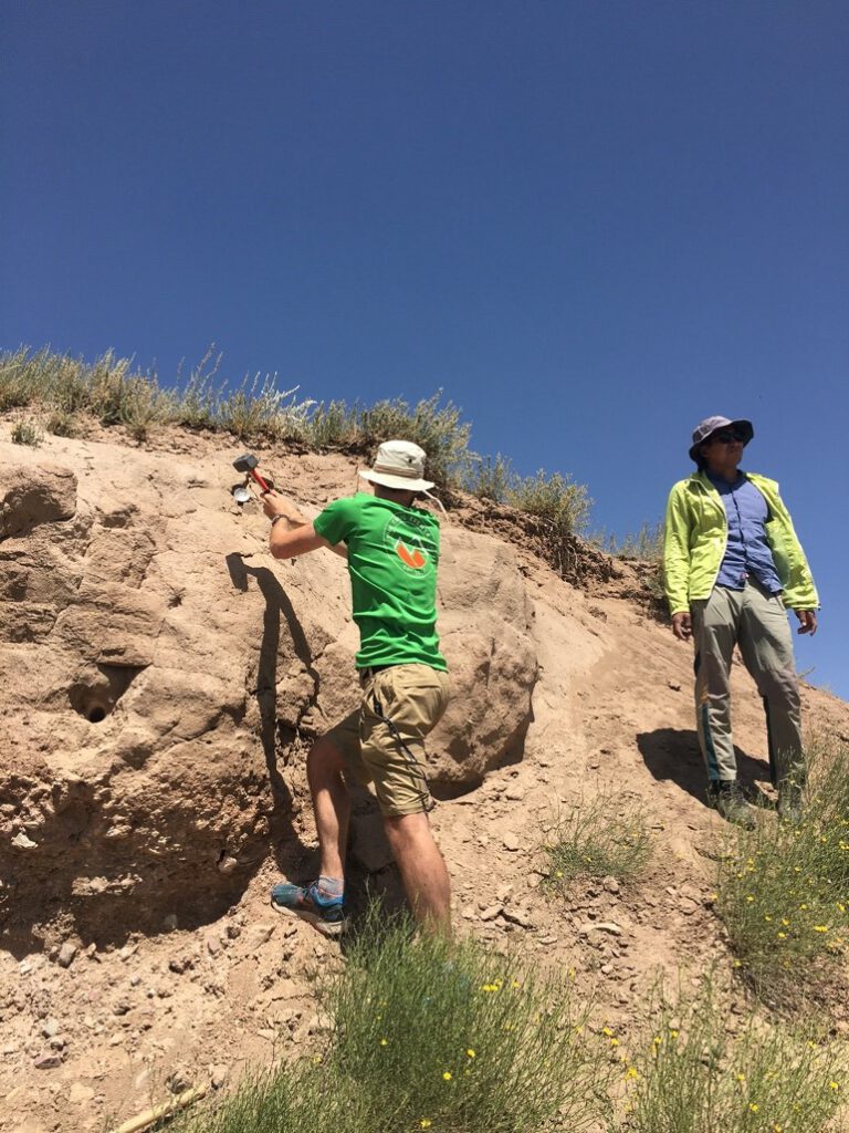
Sampling for OSL (above) and 10Be (below). Sampling the cliff meant we avoided digging a 2m hole.
One of our offset sites was a glacial moraine, which we believe to be offset by ~300m right laterally. This is a large offset, which makes sense if the glacial advance which produced it was very long ago. By dating the offset moraine – a deposit of ice-carried sediments – we will be able to date when kilometer-wide glaciers flowed down this valley, carrying clay, boulders and everything in between. Interestingly, these moraines lack the spectacular boulders we saw in other moraines further up the Altyn-Dara valley. This tells us they are very old, as almost all the boulders they once carried have weathered down to cobbles.
So, if we have a moraine deposit from a glaciation long before the LGM, where are the LGM moraines? We think they are further up the valley but are much smaller than the old moraines. We hypothesize that prior to the LGM, the Fedchenko Glacier (see the map earlier in this article) flowed down the Altyn-Dara, leading to the impressive moraine complex at the valley mouth. Sometime after this, but before the LGM, the Fedchenko Glacier stopped flowing down the Altyn-Dara and began exclusively flowing down the Muksu Valley, as it did during the LGM. This meant the glacial advance down the Altyn-Dara during the LGM was much smaller, depositing moraines further up the valley, and leaving the older moraines at the valley mouth undisturbed.
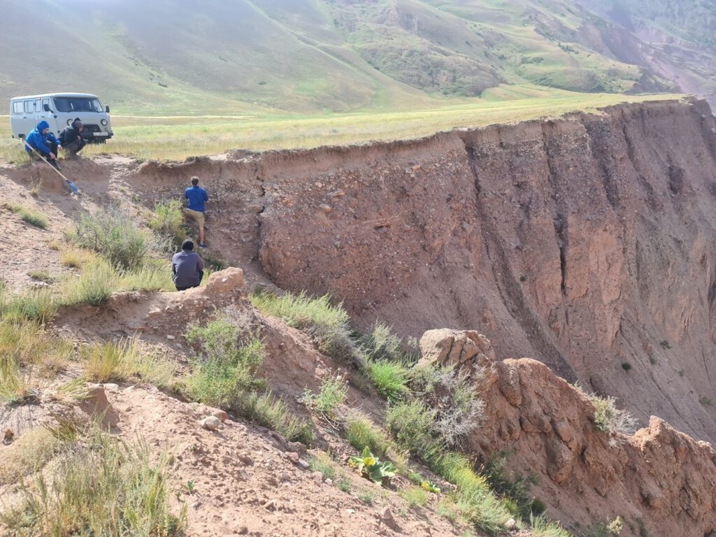
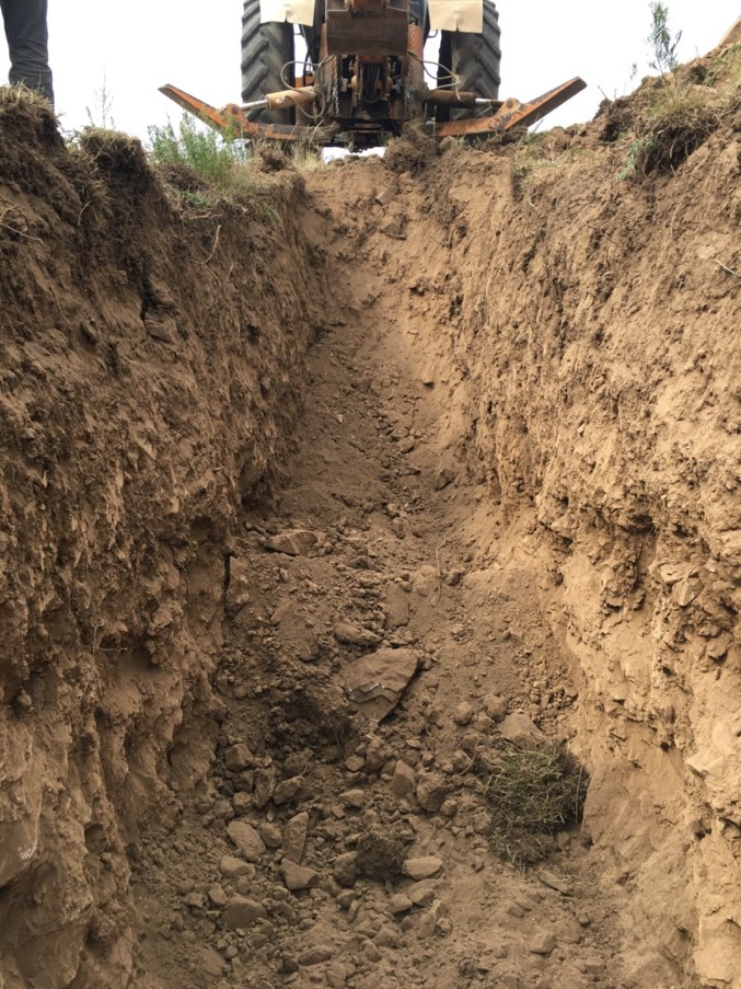
After finishing up in the Altyn-Dara, we headed back towards Bishkek, stopping for a few days in Kazarman to look at some offsets there. Here, the offsets were in quite a remote place, and not disturbed by human activity, so we were able to trench them. By digging a trench across a tectonic rupture, we can look at how sedimentary layers are offset underground and use this to better constrain fault slip rates and paleoearthquakes – watch out for a future blog on this!
Heading west, we hit the Naryn basin – one of the largest intramontane basins of the Tian Shan, where our colleagues from France were conducting their own project: chasing a paleo-lake which once filled part of the basin. We were able to assist them surveying sites with the UAS.
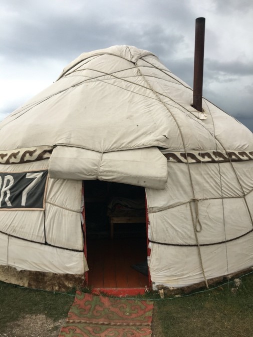
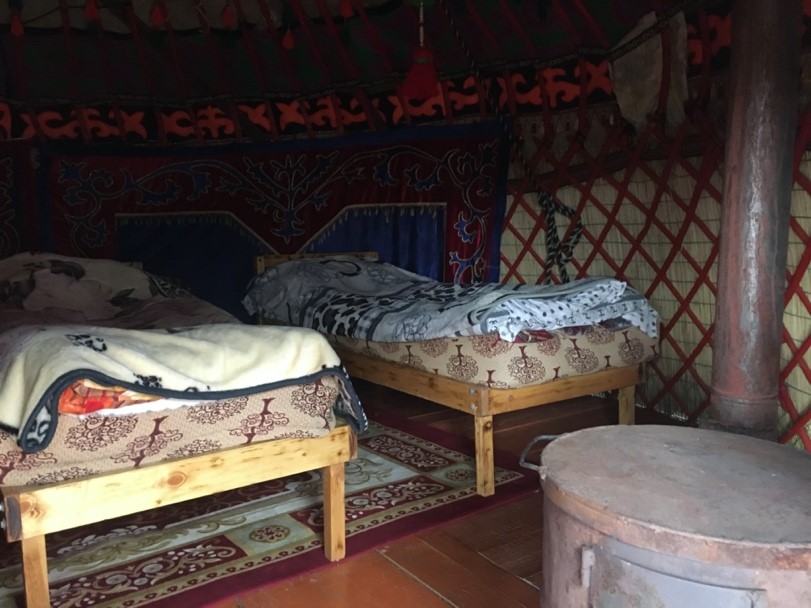
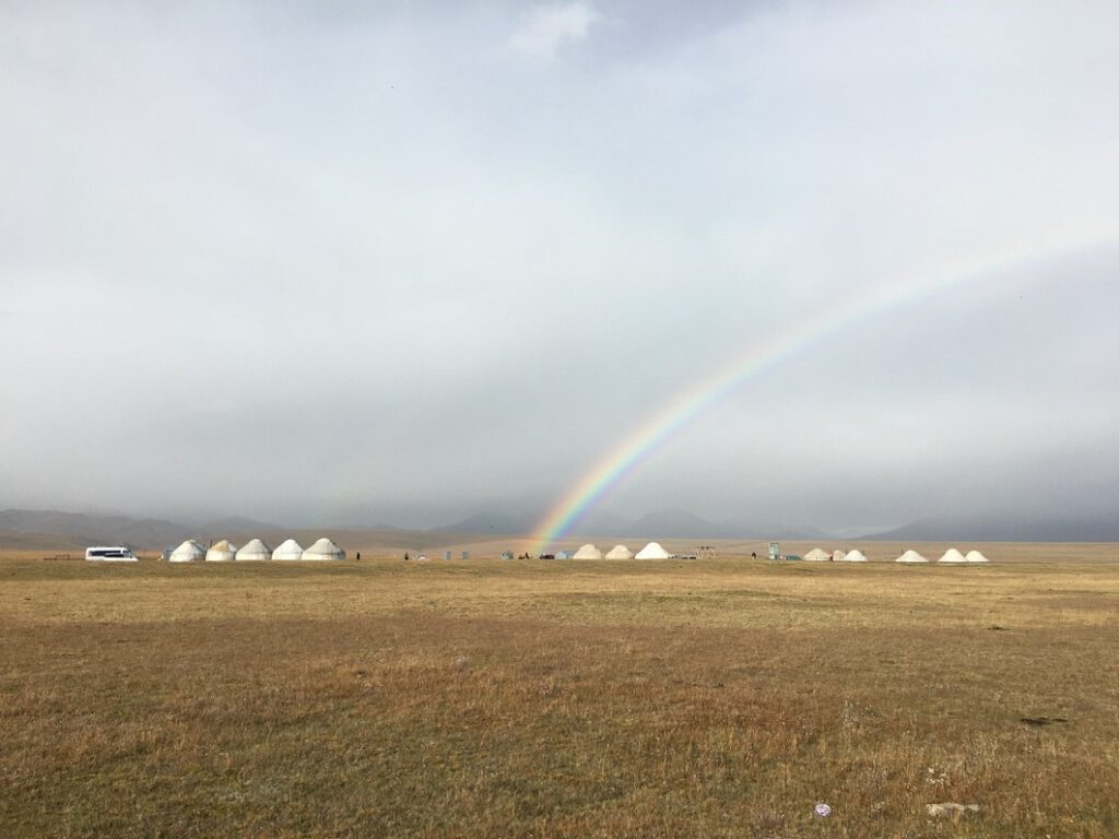
On our journey back to Bishkek we stopped off at Song Kul Lake and stayed in a yurt camp for tourists. This was amazing, and the site of my last swim – although at 3000m elevation it was a lot colder than Toktogul!
I feel very lucky to have been spent this month in Kyrgyzstan, and have learned a lot about earthquake geology and the country. I will be back as soon as possible!