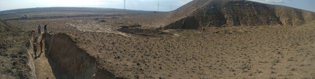
Ian Pierce describes his recent field trip to Azerbaijan, excavating trenches along the southern Caucasus thrusts and looking for evidence of historical earthquakes.
Ian Pierce describes his recent field trip to Azerbaijan, excavating trenches along the southern Caucasus thrusts and looking for evidence of historical earthquakes.
Krzysztof Gaidzik describes his recent experiences searching for past earthquakes and active faults as part of the Earthquakes in Central Asia project.
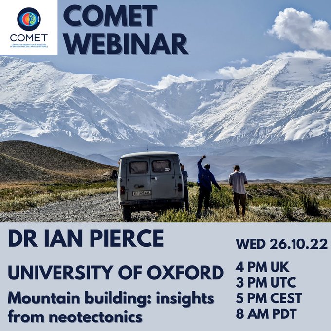
Dr. Ian Pierce of the Earth Sciences Department, University of Oxford, gives some very nice examples of active faulting in the Himalaya, the Tien Shan, and in the western United States. He combines an accessible introduction to earthquake geology with plenty of nice field photographs and high resolution imagery and digital topography.
The seminar is available here – https://www.youtube.com/watch?v=EEoEGwtMO6k
We consider some of the reasons why earthquakes have such damaging effects in Afghanistan and surrounding parts of Asia in a new article in Temblor Earthquake News …
In this blog post, Ian Pierce, describes work that he is leading in collaboration with the Azerbaijan National Academy of Sciences as part of the Leverhulme Trust EROICA and NEPTUNE projects.
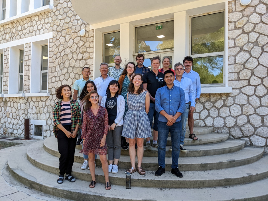
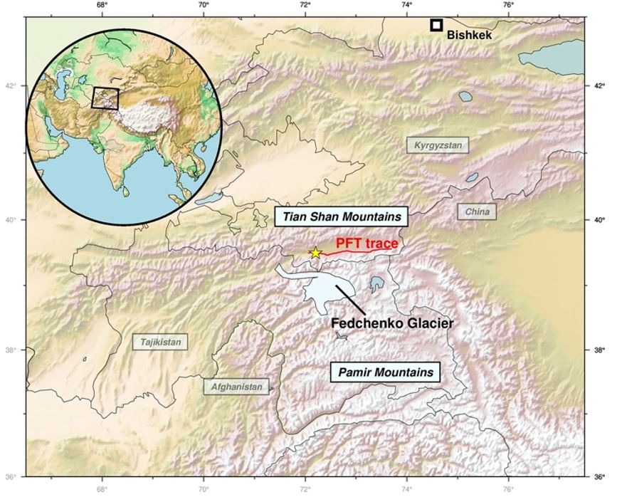
A number of earthquake specialists assembled in Aix-en-Provence for a four-day workshop hosted at CEREGE. The workshop is one of the flagship activities within the framework of the NATO SPS Multi-year project ‘Geo-environmental security from earthquakes in Kazakhstan and Kyrgyzstan’. This project involves a consortium of researchers and specialists from Asia (Kazakhstan and Kyrgyzstan), from the USA, and from Europe (France, Germany, UK). We aim to develop the underpinning geological data that is required for building effective earthquake resilience, and to compile this data in open access formats that are accessible for researchers within the project focus area of central Asia. We combine that aim with the development of capacity through equipment purchases and through the training of early career researchers from both NATO and NATO partner countries.
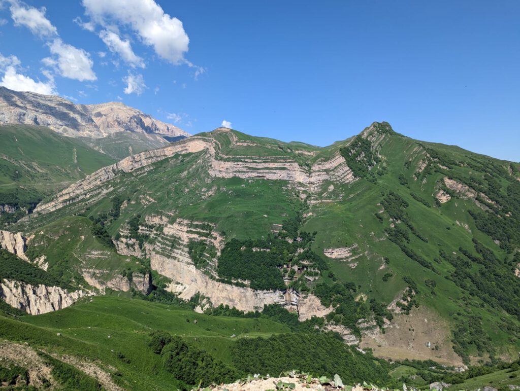
The Main Kopetdag fault (MKDF) of Turkmenistan is a key tectonic feature within the active tectonics of the Arabia-Eurasia continental collision and the geodynamics of the South Caspian basin. The fault runs along the edge of the Kopetdag (or Kopeh Dagh) mountains, which form the northern margin of the Arabia-Eurasia collision zone. The tectonics are complicated by proximity to the South Caspian Basin, which is an enigmatic ‘block’, filled with up to 20 km of Cenozoic sediment, and possibly floored by oceanic crust of Mesozoic age. The South Caspian is moving relative to its surroundings, with a roughly northwest motion relative to Eurasia that introduces oblique right-lateral and shortening components across the western Kopetdag. The lateral component decreases eastwards as the influence of the Caspian diminishes, and the Kopetdag instead accommodates Arabia-Eurasia shortening.
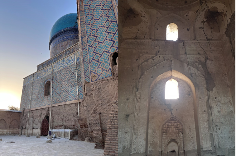
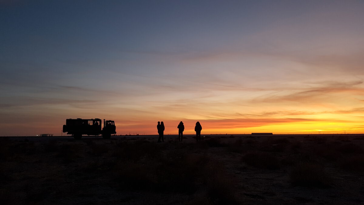
In March 2022 we spent a week in Uzbekistan discussing projects and undertaking field investigations in collaboration with the Institute of Seismology, National Academy of Sciences.
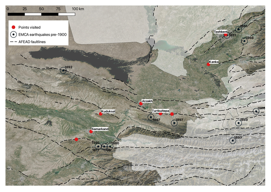
Uzbekistan is sited at the westernmost margin of the Tien Shan ranges, with environments ranging from high mountains along the borders with Kyrgyzstan and Tajikistan through to desert in the west. There is a proven widespread earthquake hazard, with examples of destructive earthquakes including an event in 1966 that caused widespread destruction in the capital city of Tashkent.
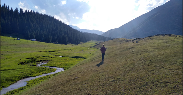
Ben Johnson, a PhD student from the University of Oxford, describes his experiences from fieldwork over the summer of 2021. Read on to find out more about the Alai valley, glacial histories, and shortening across the northern margin of the Pamir.